Search to find available roads, plazas, agencies, etc.
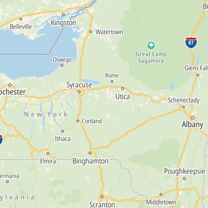
New York's Toll Road Maps
The list includes 30 toll roads within or crossing into the state of New York.
A menu of New York's interstates is also shown below.
 Atlantic Beach Bridge
  Bayonne Bridge
  Bear Mountain Bridge
  Bronx Whitestone Bridge
  Cross Bay Veterans Memorial Bridge
  Cross Westchester Expressway
  George Washington Bridge
  Goethals Bridge
  Henry Hudson Bridge
  Holland Tunnel
  Hugh L Carey Tunnel
  Lewiston Queenston Bridge
  Lincoln Tunnel
  New England Thruway
  New York State Thruway
  Niagara Thruway
  Outerbridge Crossing
  Peace Bridge
  Queens Midtown Tunnel
  Robert F Kennedy Bridge
  Thousand Islands Bridge
  Throgs Neck Bridge
 Regional Toll Road MapsToll Roads By Type
New York Interstates
Simply scroll and tap the shield for the interstate you want.
Driving In The State Of New York
New York's toll roads maps are organized alphabetically and by the type of road. You can find city and regional toll roads below. Interstates are sorted by number.

 Bayonne Bridge ▹
 Goethals Bridge ▹
 Holland Tunnel ▹
 Garden State Parkway ▹
 George Washington Bridge ▹
 Lincoln Tunnel ▹
 New Jersey Turnpike ▹
 Outerbridge Crossing ▹
 Bronx Whitestone Bridge ▹
 Hugh L Carey Tunnel ▹
 Cross Westchester Expressway ▹
 Robert F Kennedy Bridge ▹
 Queens Midtown Tunnel ▹
 New England Thruway ▹
 New York State Thruway ▹
 Throgs Neck Bridge ▹
 Henry Hudson Bridge ▹
 Atlantic Beach Bridge ▹
 Marine Parkway Bridge ▹
 Connecticut Turnpike ▹
 Bear Mountain Bridge ▹
 Massachusetts Turnpike ▹
 Thousand Islands Bridge ▹
 Niagara Thruway ▹
 Peace Bridge ▹
 Rainbow Bridge ▹

 Pennsylvania Turnpike ▹
 Milford Montague Toll Bridge ▹
 Delaware Water Gap Toll Bridge ▹
 Portland Columbia Toll Bridge ▹
 Easton Phillipsburg Toll Bridge ▹
 I78 Toll Bridge ▹


