Search to find available roads, plazas, agencies, etc.
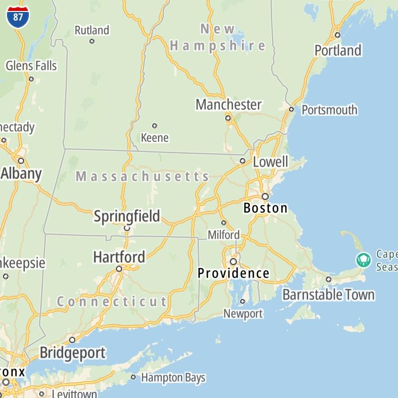
Massachusetts' Toll Road Maps
The list includes four toll roads within or crossing into the commonwealth of Massachusetts.
A menu of Massachusetts' interstates is also shown below.
 Massachusetts Turnpike
  Sumner & Callahan Tunnels
  Ted Williams Tunnel
  Tobin Memorial Bridge
 Regional Toll Road MapsToll Roads By Type
Massachusetts Interstates
Simply scroll and tap the shield for the interstate you want.
Driving In The Commonwealth Of Massachusetts
Massachusetts' toll roads maps are organized alphabetically and by the type of road. You can find city and regional toll roads below. Interstates are sorted by number.

 Massachusetts Turnpike ▹
 Sumner & Callahan Tunnels ▹
 Ted Williams Tunnel ▹
 Tobin Memorial Bridge ▹
 Blue Star Turnpike ▹
 Everett Turnpike ▹


 New York State Thruway ▹


