A Quick Look At The Milford Montague Toll Bridge

Milford Toll Bridge is another name used for this facility. This bridge serves Milford and Montague.
This road traverses the Northwestern New Jersey - Allentown as well as the Scranton - Wilkes Barre - Allentown areas.
A complete list of exits can be found below.
How To Pay On the Milford Montague Toll Bridge
Accepted types of payment taken while on the road
Tag
Plate
Cash
Card
App
Available when checked
The Milford Montague Toll Bridge offers license-plate tolling for those without a compatible transponder.
Transponders You Can Use
For drivers with a transponder, the following passes can be used on the Milford Montague Toll Bridge

- e-zpass
- epass xtra
- i-pass
- quick pass
- riverlink
- sunpass pro
- uni


Learn about transponders and accounts in Pennsylvania.
View MapToll CalculatorAll Pennsylvania Tolls
Our new toll and trip calculator is complete, but many roads' data are still being entered into our database. The legacy calculator remains active for current, accurate tolls.
 Delaware River Joint Toll Bridge Commission
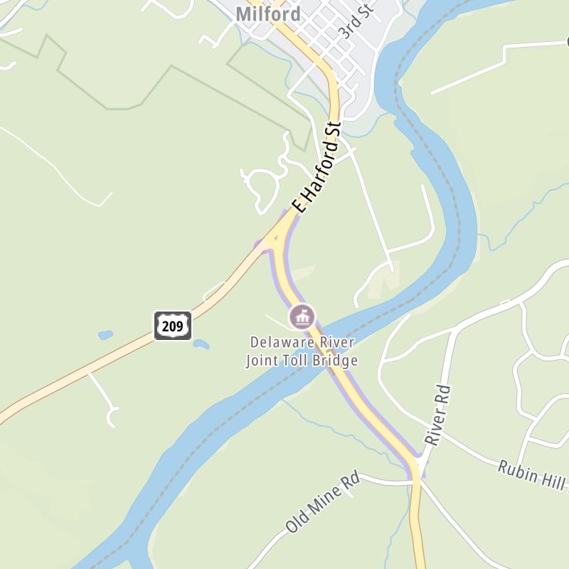

 PA Turnpike 66 ▹
 Beaver Valley Expressway ▹
 Mon Fayette Expressway ▹
 Pennsylvania Turnpike ▹
 Ohio Turnpike ▹
 PA Turnpike 576 ▹

 Delaware Memorial Bridge ▹
 Delaware Turnpike ▹
 Atlantic City Expressway ▹
 New Jersey Turnpike ▹
 Benjamin Franklin Bridge ▹
 Walt Whitman Bridge ▹
 Commodore Barry Bridge ▹
 Betsy Ross Bridge ▹
 Scudder Falls Toll Bridge ▹
 Trenton Morrisville Toll Bridge ▹
 Tacony Palmyra Bridge ▹
 Burlington Bristol Bridge ▹
 Milford Montague Toll Bridge ▹
 Delaware Water Gap Toll Bridge ▹
 Portland Columbia Toll Bridge ▹
 Easton Phillipsburg Toll Bridge ▹
 I78 Toll Bridge ▹
 Garden State Parkway ▹
 New Hope Lambertville Toll Bridge ▹


