Current Weather And Visibility
Key Regions Along The New York State Thruway
New York City - Northern New Jersey
Currently Next 12 Hours

Clear
40°F
Feels Like:
38°F
Visibility
10 Mi
Humidity:
67 %
W Wind
5 MPH
Gusts:
6.9 MPH
Catskills - Hudson Valley
Currently Next 12 Hours
Clear
32°F
Feels Like:
36°F
Visibility
11 Mi
Humidity:
88 %
W Wind
1.1 MPH
Gusts:
3.4 MPH
Albany - Schenectady
Currently Next 12 Hours
Mostly Clear
32°F
Feels Like:
36°F
Visibility
11 Mi
Humidity:
88 %
WNW Wind
1.1 MPH
Gusts:
2.2 MPH
Syracuse - Utica - Rome
Currently Next 12 Hours
Clear
35°F
Feels Like:
36°F
Visibility
12 Mi
Humidity:
69 %
WNW Wind
3.3 MPH
Gusts:
9.8 MPH
Buffalo - Rochester - Niagara Falls
Currently Next 12 Hours
Mostly Clear
34°F
Feels Like:
32°F
Visibility
11 Mi
Humidity:
64 %
WNW Wind
5 MPH
Gusts:
10.5 MPH
Conditions and forecasts provided in partnership with AccuWeather.

Weather provided in partnership with AccuWeather.
New York Radar & Satellite
NOAA composite satellite & weather radar imagery.
Images from GOES-East Northeast Sector. Sequence may take a moment to initialize.
Weather & Travel Conditions With The Road Map
This state roadway serves multiple cities and towns, including New York City, White Plains, Yonkers, Poughkeepsie, Albany, Rochester, Schenectady, Amsterdam, Utica, Buffalo, Cheektowaga, and Seneca. Use the interactive map of the New York State Thruway to pick a location for destination weather.
Pan and zoom the interactive map to your chosen position. Markers depict exits or tolling points, and selecting the marker lets you get location-specific weather and traffic conditions.

 Bayonne Bridge ▹
 Goethals Bridge ▹
 Holland Tunnel ▹
 Garden State Parkway ▹
 George Washington Bridge ▹
 Lincoln Tunnel ▹
 New Jersey Turnpike ▹
 Outerbridge Crossing ▹
 Bronx Whitestone Bridge ▹
 Hugh L Carey Tunnel ▹
 Cross Westchester Expressway ▹
 Robert F Kennedy Bridge ▹
 Queens Midtown Tunnel ▹
 New England Thruway ▹
 New York State Thruway ▹
 Throgs Neck Bridge ▹
 Henry Hudson Bridge ▹
 Atlantic Beach Bridge ▹
 Marine Parkway Bridge ▹
 Connecticut Turnpike ▹
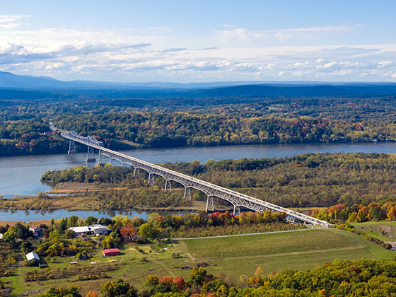
 Bear Mountain Bridge ▹
 Massachusetts Turnpike ▹
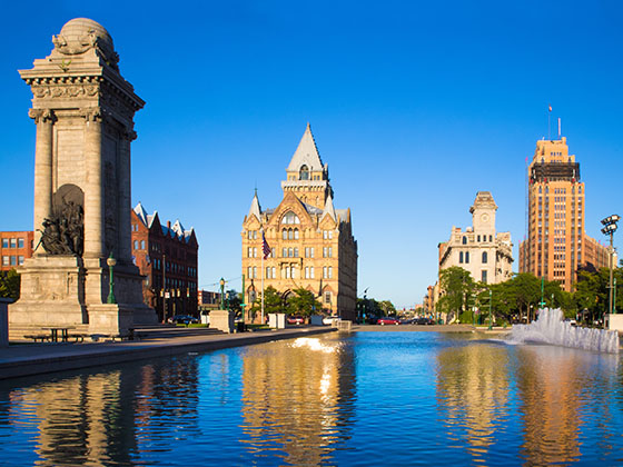
 Thousand Islands Bridge ▹
 Niagara Thruway ▹
 Peace Bridge ▹
 Rainbow Bridge ▹

 Pennsylvania Turnpike ▹
 Milford Montague Toll Bridge ▹
 Delaware Water Gap Toll Bridge ▹
 Portland Columbia Toll Bridge ▹
 Easton Phillipsburg Toll Bridge ▹
 I78 Toll Bridge ▹


