This Location At A Glance
NOTICE! Data for this plaza/rest stop is being updated.
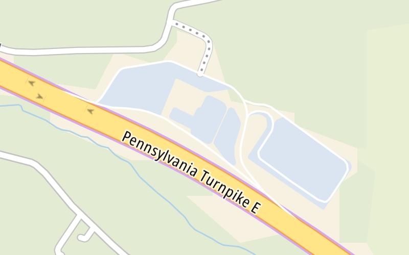
This travel plaza is located in Hunker. New Stanton is nearby.
This location is in the Pittsburgh - Western Pennsylvania area.
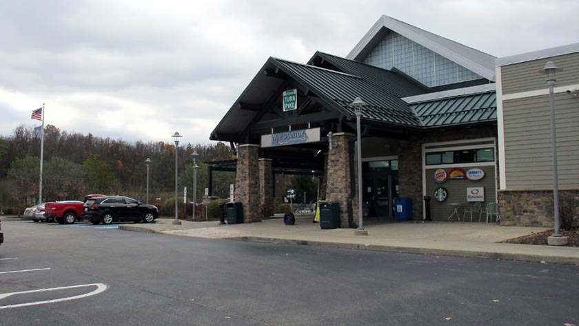
Photo by Turnpikes.com
This location's approximate GPS Coordinates are 40.20580 x -79.56580.
On to PA 31 / PA 711, about 13.0 miles away ►
◄ Back to I-70 / PA 66 / US 119, about 2.3 miles away.
Nearby gas and food are shown on the interactive map below.
Weather & Visibility

Rain
60°F / 15.8°C
Feels Like
55°F / 12.6°C

Visibility
8 Mi / 12.9 Km
3 Hr Precip
0.21 In / 0.5 Cm

-
W Wind
8.2 Mi / 13.2 Km
Gusts
15.7 Mi / 25.2 Km
See the full forecast for This Location or the Pittsburgh - Western Pennsylvania area
Conditions and forecasts provided in partnership with AccuWeather.

Weather provided in partnership with AccuWeather.
Available Cameras

1.99 Mi
2.01 Mi
2.09 Mi
Advertising


 PA Turnpike 66 ▹
 Beaver Valley Expressway ▹
 Mon Fayette Expressway ▹
 Pennsylvania Turnpike ▹
 Ohio Turnpike ▹
 PA Turnpike 576 ▹

 Delaware Memorial Bridge ▹
 Delaware Turnpike ▹
 Atlantic City Expressway ▹
 New Jersey Turnpike ▹
 Benjamin Franklin Bridge ▹
 Walt Whitman Bridge ▹
 Commodore Barry Bridge ▹
 Betsy Ross Bridge ▹
 Scudder Falls Toll Bridge ▹
 Trenton Morrisville Toll Bridge ▹
 Tacony Palmyra Bridge ▹
 Burlington Bristol Bridge ▹
 Milford Montague Toll Bridge ▹
 Delaware Water Gap Toll Bridge ▹
 Portland Columbia Toll Bridge ▹
 Easton Phillipsburg Toll Bridge ▹
 I78 Toll Bridge ▹
 Garden State Parkway ▹
 New Hope Lambertville Toll Bridge ▹