A Quick Look At The Cleveland - Akron - Youngstown Area
For more about this region, read our wiki for the area.

The Cleveland - Akron - Youngstown area includes the following cities: Cleveland, Akron, Boardman, Lorain, Aurora, Youngstown, New Castle, Pennsylvania, and Beaver Falls, Pennsylvania.
What You Will Find On The Regional Map
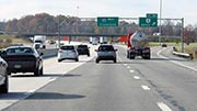
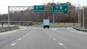
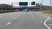
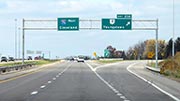
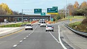
The interactive metro/regional map above shows exits and toll points for each toll road that is in, or crosses into, the Cleveland - Akron - Youngstown area.
Markers can be selected for a map of that specific exit, toll gantry or other point of interest. Exit maps will show you nearby dining, gas, EV charging, hotels and other services.
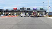
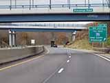
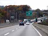
The following (3) toll roads are in this area, cross through this area or connect with this region:
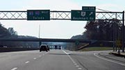
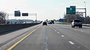
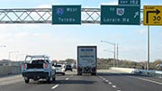
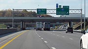
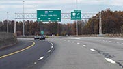
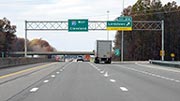
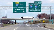
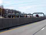
 ▸ Ohio Turnpike
 ▸ Pennsylvania Turnpike
 ▸ Beaver Valley Expressway
Selecting a road will reveal a map of that toll road.
 Ohio Turnpike and Infrastructure Commission


 Indiana Toll Road ▹


 Chicago Skyway ▹
 Tri State Tollway ▹
 Cline Avenue Bridge ▹
 PA Turnpike 66 ▹
 Mon Fayette Expressway ▹
 PA Turnpike 576 ▹
 Memorial Bridge ▹
 Ambassador Bridge ▹
 Detroit Windsor Tunnel ▹


