This Location At A Glance
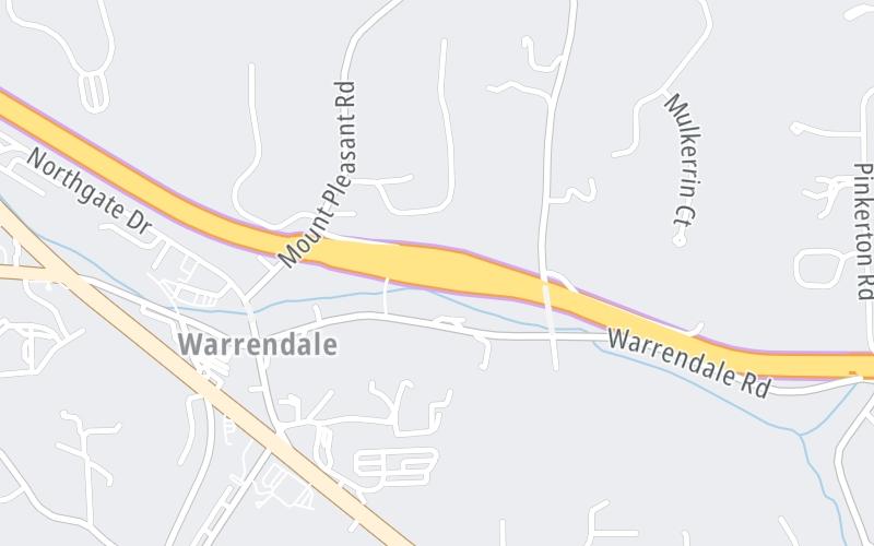
This toll point is located in Warrendale.
This location is in the Pittsburgh - Western Pennsylvania area.

Photo by Turnpikes.com
This location's approximate GPS Coordinates are 40.65530 x -80.07240.
On to PA 8 / William Flynn Hwy, about 8.1 miles away ►
◄ Back to I-79 / US 19 / Perry Hwy, about 2.6 miles away.
Nearby gas and food are shown on the interactive map below.
Weather & Visibility

Cloudy
39°F / 4°C
Feels Like
41°F / 5.2°C

Visibility
7 Mi / 11.3 Km
3 Hr Precip
0.06 In / 0.2 Cm

-
NW Wind
1.8 Mi / 2.9 Km
Gusts
4.2 Mi / 6.7 Km
See the full forecast for the Pittsburgh - Western Pennsylvania area
Conditions and forecasts provided in partnership with AccuWeather.

Weather provided in partnership with AccuWeather.
Available Cameras

1.17 Mi
1.26 Mi
1.62 Mi
1.67 Mi
2.02 Mi
Advertising


 PA Turnpike 66 ▹
 Beaver Valley Expressway ▹
 Mon Fayette Expressway ▹
 Pennsylvania Turnpike ▹
 Ohio Turnpike ▹
 PA Turnpike 576 ▹

 Delaware Memorial Bridge ▹
 Delaware Turnpike ▹
 Atlantic City Expressway ▹
 New Jersey Turnpike ▹
 Benjamin Franklin Bridge ▹
 Walt Whitman Bridge ▹
 Commodore Barry Bridge ▹
 Betsy Ross Bridge ▹
 Scudder Falls Toll Bridge ▹
 Trenton Morrisville Toll Bridge ▹
 Tacony Palmyra Bridge ▹
 Burlington Bristol Bridge ▹
 Milford Montague Toll Bridge ▹
 Delaware Water Gap Toll Bridge ▹
 Portland Columbia Toll Bridge ▹
 Easton Phillipsburg Toll Bridge ▹
 I78 Toll Bridge ▹
 Garden State Parkway ▹
 New Hope Lambertville Toll Bridge ▹