This Location At A Glance
This toll point is located in Henrico. Richmond is nearby. NOTE: EB entrance tolled / Payment machine.
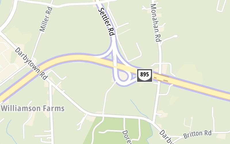
Map image © TomTom Intl BV
This location's approximate GPS Coordinates are 37.47803 x -77.33986.
On to I-295, about 1.5 miles away ►
◄ Back to Laburnum Avenue / New Market Road, about 3.0 miles away.
Nearby gas and food are shown on the interactive map below.
Weather & Visibility

Cloudy
68°F / 20°C
Feels Like
63°F / 17.2°C

Visibility
10 Mi / 16.1 Km
3 Hr Precip
0.06 In / 0.2 Cm

-
SSW Wind
6.9 Mi / 11.1 Km
Gusts
6.9 Mi / 11.1 Km
Conditions and forecasts provided in partnership with AccuWeather.

Weather provided in partnership with AccuWeather.
Available Cameras

3.70 Mi
Advertising

 Boulevard Bridge ▹
 Downtown Expressway ▹
 Pocahontas Parkway ▹
 Powhite Parkway ▹
 Chesapeake Bay Bridge Tunnel ▹
 Chesapeake Expressway ▹
 Downtown Tunnel ▹
 South Norfolk Jordan Bridge ▹
 Midtown Tunnel ▹
 Dominion Boulevard Veterans Bridge ▹
 Wm Preston Lane Jr Memorial Bridge ▹
 Intercounty Connector MD 200 ▹
 Dulles Greenway ▹
 PA Turnpike 66 ▹
 Beaver Valley Expressway ▹
 Mon Fayette Expressway ▹
 Pennsylvania Turnpike ▹
 Ohio Turnpike ▹
 PA Turnpike 576 ▹
 West Virginia Turnpike ▹


