A Quick Look At The Charleston - State Capital Area

The Charleston - State Capital area includes the following cities: Charleston, Malden, South Ruffner, and Snow Hill.
What You Will Find On The Regional Map
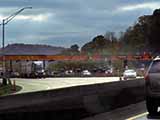
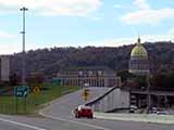
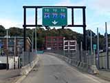
The interactive metro/regional map above shows exits and toll points for each toll road that is in, or crosses into, the Charleston - State Capital area.
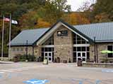
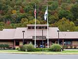
Markers can be selected for a map of that specific exit, toll gantry or other point of interest. Exit maps will show you nearby dining, gas, EV charging, hotels and other services.
Only the following toll road is in this area:
 ▸ West Virginia Turnpike
Selecting a road will reveal a map of that toll road.


 Memorial Bridge ▹
 PA Turnpike 66 ▹
 Beaver Valley Expressway ▹
 Mon Fayette Expressway ▹
 Pennsylvania Turnpike ▹
 Ohio Turnpike ▹
 PA Turnpike 576 ▹


