Search to find available roads, plazas, agencies, etc.
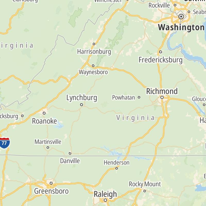
Virginia's Toll Road Maps
The list includes 12 toll roads within or crossing into the commonwealth of Virginia.
A menu of Virginia's interstates is also shown below.
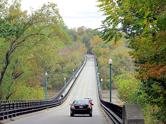
 Boulevard Bridge
  Chesapeake Bay Bridge Tunnel
  Chesapeake Expressway
  Dominion Boulevard Veterans Bridge
  Downtown Expressway
  Downtown Tunnel
  Dulles Greenway
  Midtown Tunnel
  Pocahontas Parkway
  Powhite Parkway
  South Norfolk Jordan Bridge
 Regional Toll Road MapsToll Roads By Type
Virginia Interstates
Simply scroll and tap the shield for the interstate you want.
Driving In The Commonwealth Of Virginia
Virginia's toll roads maps are organized alphabetically and by the type of road. You can find city and regional toll roads below. Interstates are sorted by number.
 Boulevard Bridge ▹
 Downtown Expressway ▹
 Pocahontas Parkway ▹
 Powhite Parkway ▹
 Chesapeake Bay Bridge Tunnel ▹
 Chesapeake Expressway ▹
 Downtown Tunnel ▹
 South Norfolk Jordan Bridge ▹
 Midtown Tunnel ▹
 Dominion Boulevard Veterans Bridge ▹
 Wm Preston Lane Jr Memorial Bridge ▹
 Intercounty Connector MD 200 ▹
 Dulles Greenway ▹
 PA Turnpike 66 ▹
 Beaver Valley Expressway ▹
 Mon Fayette Expressway ▹
 Pennsylvania Turnpike ▹
 Ohio Turnpike ▹
 PA Turnpike 576 ▹
 West Virginia Turnpike ▹


