Current Weather And Visibility
Key Regions Along The Midtown Tunnel
Norfolk - Chesapeake
Currently Next 12 Hours

Mostly Sunny
88°F
Feels Like:
98°F
Visibility
10 Mi
Humidity:
44 %
NW Wind
3.4 MPH
Gusts:
5.6 MPH
Conditions and forecasts provided in partnership with AccuWeather.

Weather provided in partnership with AccuWeather.
Virginia Radar & Satellite
NOAA composite satellite & weather radar imagery.
Images from GOES-East Northeast Sector. Sequence may take a moment to initialize.
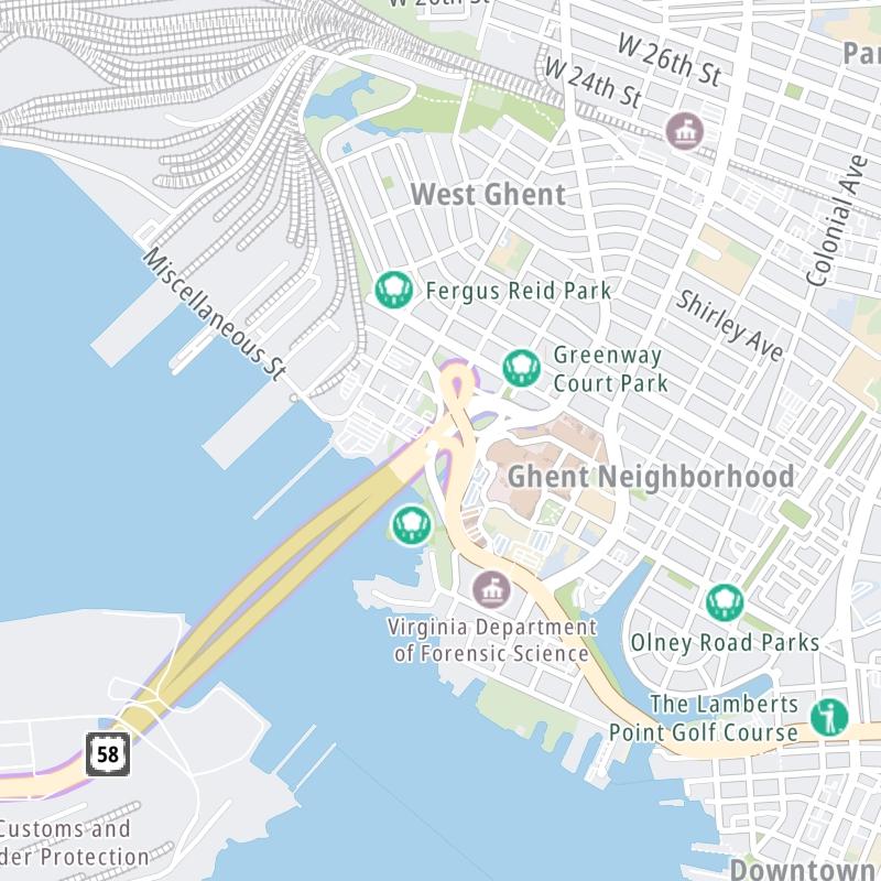
Weather & Travel Conditions With The Road Map
This tunnel serves Portsmouth and Norfolk. Use the interactive map of the Midtown Tunnel to pick a location for destination weather.
Pan and zoom the interactive map to your chosen position. Select markers to view conditions at that location and see nearby available traffic cameras along the tunnel.
 Boulevard Bridge ▹
 Downtown Expressway ▹
 Pocahontas Parkway ▹
 Powhite Parkway ▹
 Chesapeake Bay Bridge Tunnel ▹
 Chesapeake Expressway ▹
 Downtown Tunnel ▹
 South Norfolk Jordan Bridge ▹
 Midtown Tunnel ▹
 Dominion Boulevard Veterans Bridge ▹
 Wm Preston Lane Jr Memorial Bridge ▹
 Intercounty Connector MD 200 ▹
 Dulles Greenway ▹
 PA Turnpike 66 ▹
 Beaver Valley Expressway ▹
 Mon Fayette Expressway ▹
 Pennsylvania Turnpike ▹
 Ohio Turnpike ▹
 PA Turnpike 576 ▹
 West Virginia Turnpike ▹


