Right Now In Richmond
Travel Conditions In Virginia's Capital Area
Current Weather And Visibility
9:00 am Local Time

Mostly Cloudy
65°F / 18.1°C
Feels Like
70°F / 20.9°C

Visibility
10 Mi / 16.1 Km
3 Hr Precip
0 In / 0.0 Cm

-
SSW Wind
2.3 Mi / 3.6 Km
Gusts
6.5 Mi / 10.4 Km
Conditions and forecasts provided in partnership with AccuWeather.

Weather provided in partnership with AccuWeather.
More Weather Options
Key Metro Areas In Virginia
Richmond - State Capital
Includes the following communities: Richmond, Meadowbrook, Manchester, and Brandermill.

Norfolk - Chesapeake
Includes the following communities: Norfolk, Chesapeake, Virginia Beach, Newport News, Portsmouth, Suffolk, and Moyock, North Carolina.
Advertising

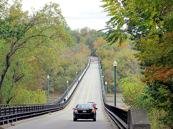
 Boulevard Bridge
 Downtown Expressway
 Pocahontas Parkway
 Powhite Parkway
 Chesapeake Bay Bridge Tunnel
 Chesapeake Expressway
 Downtown Tunnel
 South Norfolk Jordan Bridge
 Midtown Tunnel
 Dominion Boulevard Veterans Bridge
 Wm Preston Lane Jr Memorial Bridge ▹
 Intercounty Connector MD 200 ▹
 Dulles Greenway ▹
 PA Turnpike 66 ▹
 Beaver Valley Expressway ▹
 Mon Fayette Expressway ▹
 Pennsylvania Turnpike ▹
 Ohio Turnpike ▹
 PA Turnpike 576 ▹
 West Virginia Turnpike ▹


