This Location At A Glance
This toll point is located in Delaware Water Gap.
This location is in the Scranton - Wilkes Barre - Allentown area; it also overlaps with the Northwestern New Jersey - Allentown area.
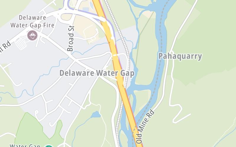
This location's approximate GPS Coordinates are 40.98312 x -75.13778.
On to River Road, about 0.8 miles away ►
◄ Back to Foxtown Hill Road, about 0.2 miles away.
Nearby gas and food are shown on the interactive map below.
Weather & Visibility

Mostly Sunny
57°F / 13.8°C
Feels Like
68°F / 20.2°C

Visibility
12 Mi / 19.3 Km
3 Hr Precip
0 In / 0.0 Cm

-
SSW Wind
1.3 Mi / 2.1 Km
Gusts
6 Mi / 9.6 Km
See the full forecast for the Scranton - Wilkes Barre - Allentown area
Conditions and forecasts provided in partnership with AccuWeather.

Weather provided in partnership with AccuWeather.
Available Cameras

1.39 Mi
2.74 Mi


 PA Turnpike 66 ▹
 Beaver Valley Expressway ▹
 Mon Fayette Expressway ▹
 Pennsylvania Turnpike ▹
 Ohio Turnpike ▹
 PA Turnpike 576 ▹

 Delaware Memorial Bridge ▹
 Delaware Turnpike ▹
 Atlantic City Expressway ▹
 New Jersey Turnpike ▹
 Benjamin Franklin Bridge ▹
 Walt Whitman Bridge ▹
 Commodore Barry Bridge ▹
 Betsy Ross Bridge ▹
 Scudder Falls Toll Bridge ▹
 Trenton Morrisville Toll Bridge ▹
 Tacony Palmyra Bridge ▹
 Burlington Bristol Bridge ▹
 Milford Montague Toll Bridge ▹
 Delaware Water Gap Toll Bridge ▹
 Portland Columbia Toll Bridge ▹
 Easton Phillipsburg Toll Bridge ▹
 I78 Toll Bridge ▹
 Garden State Parkway ▹
 New Hope Lambertville Toll Bridge ▹


