This Location At A Glance
NOTICE! Data for this plaza/rest stop is being updated.
This travel plaza is located in Ocean View. NOTE: Temporarily closed.
This location is in the Atlantic City - Cape May area.
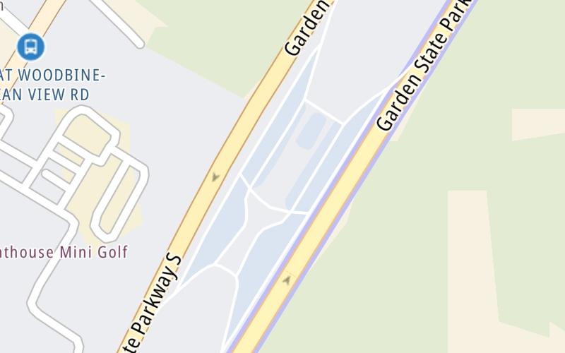
Map image © TomTom Intl BV
This location's approximate GPS Coordinates are 39.18133 x -74.72302.
On to Seaville: NJ 50 / US 9, about 2.0 miles away ►
◄ Back to Sea Isle City: Sea Isle Blvd, about 0.8 miles away.
Nearby gas and food are shown on the interactive map below.
Weather & Visibility

Clear
39°F / 3.7°C
Feels Like
36°F / 2.5°C

Visibility
12 Mi / 19.3 Km
3 Hr Precip
0 In / 0.0 Cm

-
E Wind
5.3 Mi / 8.5 Km
Gusts
7.6 Mi / 12.2 Km
See the full forecast for This Location or the Atlantic City - Cape May area
Conditions and forecasts provided in partnership with AccuWeather.

Weather provided in partnership with AccuWeather.
Available Cameras

1.08 Mi
1.16 Mi
2.14 Mi
Advertising


 Delaware Memorial Bridge ▹
 Atlantic City Expressway ▹
 Garden State Parkway ▹
 New Jersey Turnpike ▹
 Pennsylvania Turnpike ▹
 Benjamin Franklin Bridge ▹
 Walt Whitman Bridge ▹
 Commodore Barry Bridge ▹
 Betsy Ross Bridge ▹
 Scudder Falls Toll Bridge ▹
 Trenton Morrisville Toll Bridge ▹
 Tacony Palmyra Bridge ▹
 Burlington Bristol Bridge ▹
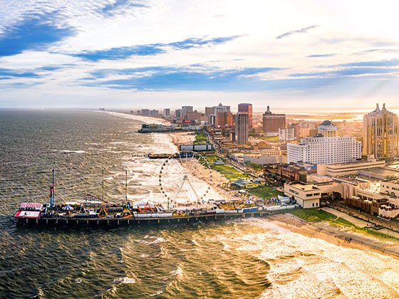
 Middle Thorofare Bridge ▹
 Grassy Sound Bridge ▹
 Ocean City Longport Bridge ▹
 Milford Montague Toll Bridge ▹
 Delaware Water Gap Toll Bridge ▹
 Portland Columbia Toll Bridge ▹
 Easton Phillipsburg Toll Bridge ▹
 I78 Toll Bridge ▹
 New Hope Lambertville Toll Bridge ▹
 Delaware Turnpike ▹
 State Route 1 ▹
 US 301 ▹
 John F Kennedy Memorial Highway ▹
 Bayonne Bridge ▹
 Goethals Bridge ▹
 Holland Tunnel ▹
 George Washington Bridge ▹
 Lincoln Tunnel ▹
 Outerbridge Crossing ▹
 Bronx Whitestone Bridge ▹
 Hugh L Carey Tunnel ▹
 Cross Westchester Expressway ▹
 Robert F Kennedy Bridge ▹
 Queens Midtown Tunnel ▹
 New England Thruway ▹
 New York State Thruway ▹
 Henry Hudson Bridge ▹
 Atlantic Beach Bridge ▹
 Marine Parkway Bridge ▹
 Connecticut Turnpike ▹


