About This Location
At A Glance
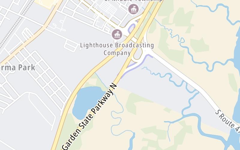
This is Exit 4 of the Garden State Parkway.
This junction is located in Rio Grande. Wildwood is nearby.
This location is in the Atlantic City - Cape May area.
This location's approximate GPS Coordinates are 39.00507 x -74.86861.
Which directions can I travel from here?
From this junction, traffic can only enter going northbound. Traffic can only exit going northbound.
On to NJ 47: S Wildwood Blvd, about 0.0 miles away ►
◄ Back to Cape May: Ocean Drive / Shore Road, about 3.8 miles away.
Which direction are tolls charged here?
- ▸ Northbound off ramp
Using The POI Map
The interactive map and lists on this page include key traveler services within two miles of this destination point.
You will find common services, including gas stations, truck stops, EV charging facilities, fast-food or family restaurants, and hotels. These are displayed on the interactive map as markers, which you can select for more information.
Current driving conditions and weather, along with a more complete list of key services, may be found below the map.


 Delaware Memorial Bridge ▹
 Atlantic City Expressway ▹
 Garden State Parkway ▹
 New Jersey Turnpike ▹
 Pennsylvania Turnpike ▹
 Benjamin Franklin Bridge ▹
 Walt Whitman Bridge ▹
 Commodore Barry Bridge ▹
 Betsy Ross Bridge ▹
 Scudder Falls Toll Bridge ▹
 Trenton Morrisville Toll Bridge ▹
 Tacony Palmyra Bridge ▹
 Burlington Bristol Bridge ▹
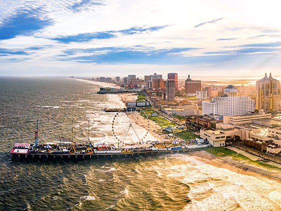
 Middle Thorofare Bridge ▹
 Grassy Sound Bridge ▹
 Ocean City Longport Bridge ▹
 Milford Montague Toll Bridge ▹
 Delaware Water Gap Toll Bridge ▹
 Portland Columbia Toll Bridge ▹
 Easton Phillipsburg Toll Bridge ▹
 I78 Toll Bridge ▹
 New Hope Lambertville Toll Bridge ▹
 Delaware Turnpike ▹
 State Route 1 ▹
 US 301 ▹
 John F Kennedy Memorial Highway ▹
 Bayonne Bridge ▹
 Goethals Bridge ▹
 Holland Tunnel ▹
 George Washington Bridge ▹
 Lincoln Tunnel ▹
 Outerbridge Crossing ▹
 Bronx Whitestone Bridge ▹
 Hugh L Carey Tunnel ▹
 Cross Westchester Expressway ▹
 Robert F Kennedy Bridge ▹
 Queens Midtown Tunnel ▹
 New England Thruway ▹
 New York State Thruway ▹
 Henry Hudson Bridge ▹
 Atlantic Beach Bridge ▹
 Marine Parkway Bridge ▹
 Connecticut Turnpike ▹


