Share

West Virginia Turnpike At CR 15

Advertising
Advertising

About This Location

CR 15
Map image © TomTom Intl BV

At A Glance

This is Exit 66 of the West Virginia Turnpike.

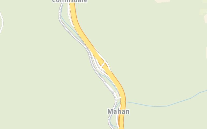
This junction is located in Gallagher. Mahan is nearby.

This location is in the Charleston - State Capital area; it also overlaps with the Beckley - Princeton area.

Interactive Map Below

This location's approximate GPS Coordinates are 38.02926 x -81.35739.

Which directions can I travel from here?

From this junction, traffic can enter traveling both southbound and northbound. Traffic can also exit traveling both southbound and northbound.

On to Rest Area 69, about 3.5 miles away ►

◄ Back to WV 612, about 6.6 miles away.

Which direction are tolls charged here?

Tolls are not charged or collected at this junction.

View Map Travel Conditions

Closest Food, Gas, EV And Other Services Near CR 15

Use the map below for all services within about a two (2) mile radius.

Fuel, EV and convenience store header

Gas & EV Charging

Closest Gas Stations

Sunoco

SUNOCO

Paint Creek Road • 637 feet

Store/Fuel Brand: Sunoco

View Map

Closest EV Chargers

View Map

No EV charging stations nearby.

Coffee, snacks and dining header

Fast Food & Beverage

Closest Fast Food

Fast food refers ONLY to quick-service and take-out diners. All restaurant types are shown on the map below.

View Map

No fast-food dining nearby.

Advertising
Advertising

Interactive POI Map

The interactive map and lists on this page include key traveler services in a two-mile radius, including gas stations, truck stops, EV charging facilities, fast-food or family restaurants, and hotels.

Current driving conditions and weather, may be found below.

Advertising
Advertising

Travel Conditions At CR 15

Current Weather And Visibility

  • 12 7 12
  • Light Snow

    19°F / -7.1°C

    Feels Like:

    13°F / -10.4°C

  • Visibility

    2 Mi / 2.8 Km

    3-Hour Precip:

    0.04 In / 0.1 Cm

  • West Northwest
    Winds (WNW)

    6.1 MPH / 9.8 KPH

    Gusts:

    13.9 MPH / 22.3 KPH

▸ Get the full forecast for This Location | The Charleston - State Capital area

Available Cameras

No camera feed …

There is no currently-available traffic camera feed for this location.

Advertising
Advertising

Pictures At CR 15

No photos …

There are no currently-available photos for this location.

Advertising
Advertising

Discover West Virginia Attractions

Hotels and destinations header

Hotels & Airports

Destination Travel

Advertising
Advertising

EXPLORE WEST VIRGINIA

Journey to key destinations around and adjacent to West Virginia!

Map Of This Region ▹

Communities in this metro area include Charleston, Malden, South Ruffner, and Snow Hill.

Individual toll maps for this region are listed below.

Map Of This Region ▹

Communities in this metro area include Beckley, Beaver, Mac Arthur, Daniels, and Shady Spring.

Individual toll maps for this region are listed below.

Map Of This Region ▹

Communities in this metro area include Parkersburg, North Hills, Vienna, and Belpre, Ohio.

Individual toll maps for this region are listed below.

Map Of This Region ▹

Communities in this metro area include Pittsburgh, Cranberry Township, Beaver Valley, New Castle, Washington, Uniontown, Cheat Lake, West Virginia, Boardman, Ohio, and Youngstown, Ohio.

Individual toll maps for this region are listed below.

Static map of West Virginia Turnpike at CR 15

Static map. Interactive map is above.

Advertising
Advertising
Turnpikes.com is proud to partner with the following: