This Location At A Glance
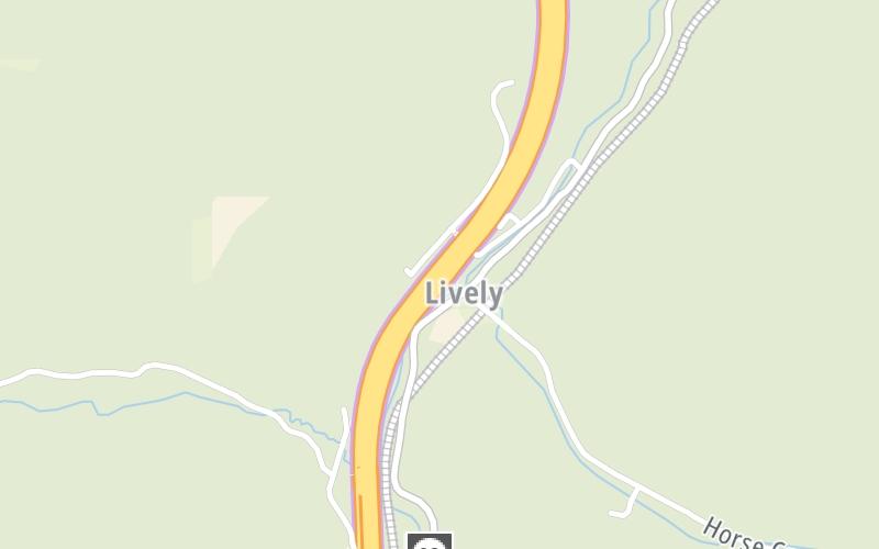
This toll point is located in Pax. Mt Hope is nearby. NOTE: Pax Tolls.
This location is in the Beckley - Princeton area.
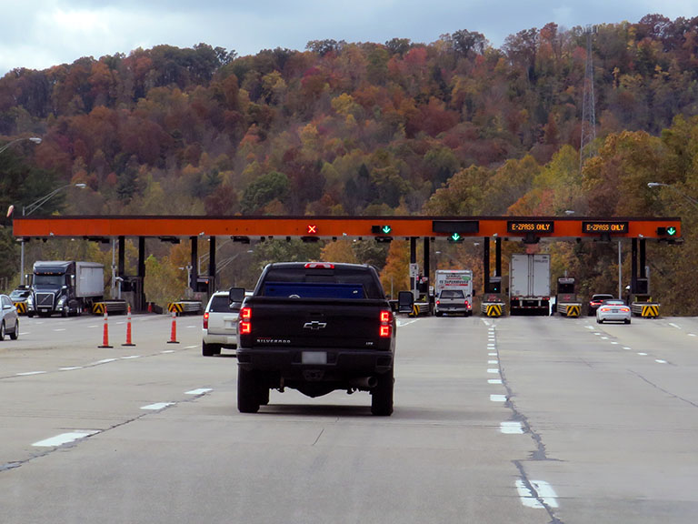
Photo by Turnpikes.com
This location's approximate GPS Coordinates are 37.93982 x -81.25958.
On to WV 612, about 3.0 miles away ►
◄ Back to CR 23/2, about 1.9 miles away.
Nearby gas and food are shown on the interactive map below.
Weather & Visibility

Cloudy
57°F / 14.1°C
Feels Like
55°F / 12.6°C

Visibility
25 Mi / 40.2 Km
3 Hr Precip
0 In / 0.0 Cm

-
SSE Wind
7.2 Mi / 11.6 Km
Gusts
19.9 Mi / 32.1 Km
See the full forecast for the Beckley - Princeton area
Conditions and forecasts provided in partnership with AccuWeather.

Weather provided in partnership with AccuWeather.
Available Cameras
No camera feed …
There is no currently-available traffic camera feed for this location.
Advertising


 West Virginia Turnpike ▹

 Memorial Bridge ▹
 PA Turnpike 66 ▹
 Beaver Valley Expressway ▹
 Mon Fayette Expressway ▹
 Pennsylvania Turnpike ▹
 Ohio Turnpike ▹
 PA Turnpike 576 ▹