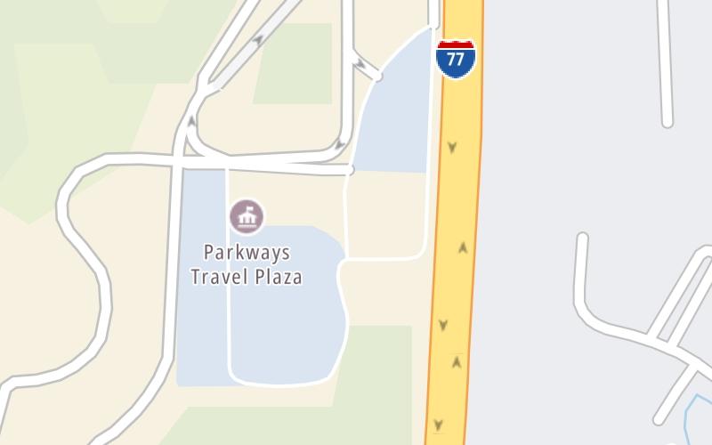
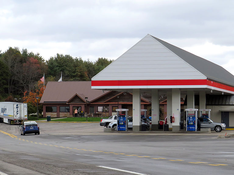
This Location At A Glance
This travel plaza is located in Beckley. NOTE: Use Exit 45 ramps.
This location is in the Beckley - Princeton area.
This location's approximate GPS Coordinates are 37.80219 x -81.21323.
On to US 19, about 1.9 miles away ►
◄ Back to Tamarack / Van Kirk Drive, about 0.0 miles away.
Nearby gas and food are shown on the interactive map below.
Weather & Visibility

Sunny
42°F / 5.6°C
Feels Like
43°F / 6.3°C

Visibility
10 Mi / 16.1 Km
3 Hr Precip
0 In / 0.0 Cm

-
WNW Wind
9.2 Mi / 14.8 Km
Gusts
11.9 Mi / 19.2 Km
See the full forecast for This Location or the Beckley - Princeton area
Conditions and forecasts provided in partnership with AccuWeather.

Weather provided in partnership with AccuWeather.
Available Cameras
No camera feed …
There is no currently-available traffic camera feed for this location.


 West Virginia Turnpike ▹

 Memorial Bridge ▹
 PA Turnpike 66 ▹
 Beaver Valley Expressway ▹
 Mon Fayette Expressway ▹
 Pennsylvania Turnpike ▹
 Ohio Turnpike ▹
 PA Turnpike 576 ▹