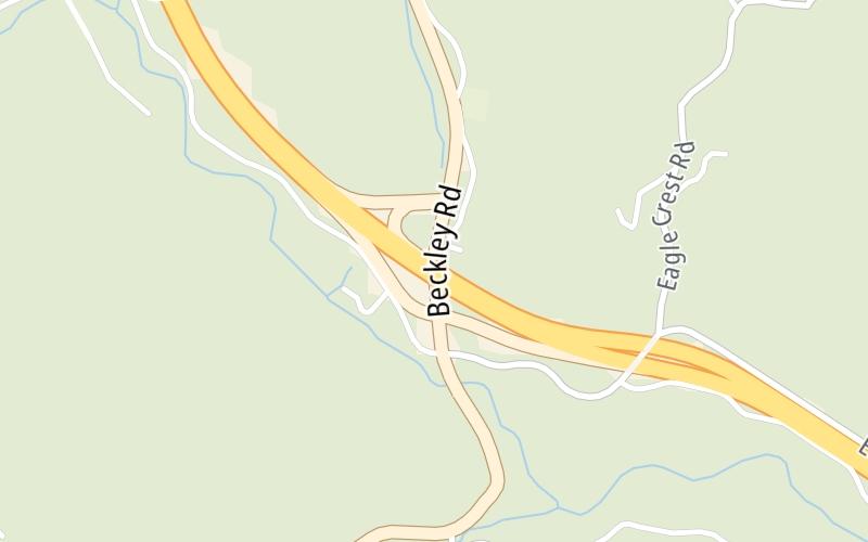
Share

West Virginia Turnpike At US 19

Advertising
Advertising

About This Location

US 19
Photo by Turnpikes.com

At A Glance

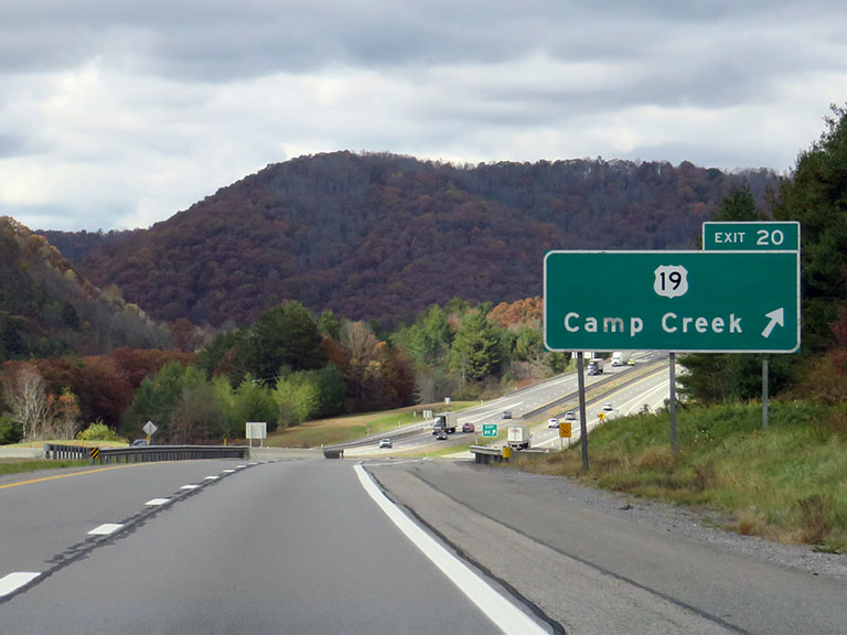
This is Exit 20 of the West Virginia Turnpike.

This junction is located in Spanishburg. Camp Creek is nearby. NOTE: Camp Creek State Park.

This location is in the Beckley - Princeton area.

Interactive Map Below

This location's approximate GPS Coordinates are 37.49580 x -81.10271.

Which directions can I travel from here?

From this junction, traffic can enter traveling both southbound and northbound. Traffic can also exit traveling both southbound and northbound.

On to WV 48/Odd Road, about 8.9 miles away ►

◄ Back to Bluestone Travel Plaza, about 2.6 miles away.

This location also connects with Virginia.

Which direction are tolls charged here?

Tolls are not charged or collected at this junction.

View Map Travel Conditions

Closest Food, Gas, EV And Other Services Near US 19

Use the map below for all services within about a two (2) mile radius.

Fuel, EV and convenience store header

Gas & EV Charging

Closest Gas Stations

View Map

No gas or other fuel stations nearby.

Closest EV Chargers

View Map

No EV charging stations nearby.

Coffee, snacks and dining header

Fast Food & Beverage

Closest Fast Food

Fast food refers ONLY to quick-service and take-out diners. All restaurant types are shown on the map below.

View Map

No fast-food dining nearby.

Advertising
Advertising

Interactive POI Map

The interactive map and lists on this page include key traveler services in a two-mile radius, including gas stations, truck stops, EV charging facilities, fast-food or family restaurants, and hotels.

Current driving conditions and weather, may be found below.

Advertising
Advertising

Travel Conditions At US 19

Current Weather And Visibility

  • 06 7 12
  • Clear

    29°F / -1.5°C

    Feels Like:

    34°F / 1.2°C

  • Visibility

    10 Mi / 16.1 Km

    3-Hour Precip:

    0 In / 0.0 Cm

  • West Southwest
    Winds (WSW)

    0.5 MPH / 0.9 KPH

    Gusts:

    1.2 MPH / 2 KPH

▸ Get the full forecast for This Location | The Beckley - Princeton area

Available Cameras

No camera feed …

There is no currently-available traffic camera feed for this location.

Advertising
Advertising

Pictures At US 19

The northbound ramp for Camp Creek, at Exit 20, comes into full view, along with the road ahead, for travelers on the West Virginia Turnpike. Photo taken 10-19-2022

Photo taken 10-19-2022
Advertising
Advertising

Discover West Virginia Attractions

Hotels and destinations header

Hotels & Airports

Destination Travel

Advertising
Advertising

EXPLORE WEST VIRGINIA

Journey to key destinations around and adjacent to West Virginia!

Map Of This Region ▹

Communities in this metro area include Charleston, Malden, South Ruffner, and Snow Hill.

Individual toll maps for this region are listed below.

Map Of This Region ▹

Communities in this metro area include Beckley, Beaver, Mac Arthur, Daniels, and Shady Spring.

Individual toll maps for this region are listed below.

Map Of This Region ▹

Communities in this metro area include Parkersburg, North Hills, Vienna, and Belpre, Ohio.

Individual toll maps for this region are listed below.

Map Of This Region ▹

Communities in this metro area include Pittsburgh, Cranberry Township, Beaver Valley, New Castle, Washington, Uniontown, Cheat Lake, West Virginia, Boardman, Ohio, and Youngstown, Ohio.

Individual toll maps for this region are listed below.

Static map of West Virginia Turnpike at US 19

Static map. Interactive map is above.

Advertising
Advertising
Turnpikes.com is proud to partner with the following: