This Location At A Glance
NOTICE! Data for this plaza/rest stop is being updated.
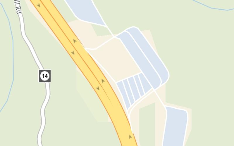
This travel plaza is located in Princeton.
This location is in the Beckley - Princeton area.
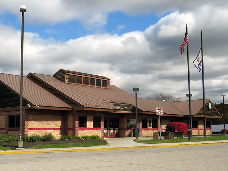
Photo by Turnpikes.com
This location's approximate GPS Coordinates are 37.47460 x -81.06811.
On to US 19, about 2.6 miles away ►
◄ Back to CR 7/Mercer Springs Road/Athens Rd, about 3.4 miles away.
Nearby gas and food are shown on the interactive map below.
Weather & Visibility

Clear
35°F / 1.5°C
Feels Like
37°F / 2.7°C

Visibility
9 Mi / 14.5 Km
3 Hr Precip
0 In / 0.0 Cm

-
W Wind
2.2 Mi / 3.5 Km
Gusts
3.9 Mi / 6.3 Km
See the full forecast for This Location or the Beckley - Princeton area
Conditions and forecasts provided in partnership with AccuWeather.

Weather provided in partnership with AccuWeather.
Available Cameras
No camera feed …
There is no currently-available traffic camera feed for this location.
Advertising


 West Virginia Turnpike ▹

 Memorial Bridge ▹
 PA Turnpike 66 ▹
 Beaver Valley Expressway ▹
 Mon Fayette Expressway ▹
 Pennsylvania Turnpike ▹
 Ohio Turnpike ▹
 PA Turnpike 576 ▹