This Location At A Glance
This toll point is located in Virginia Beach. NOTE: Northbound charged only.
This location is in the Norfolk - Chesapeake area.
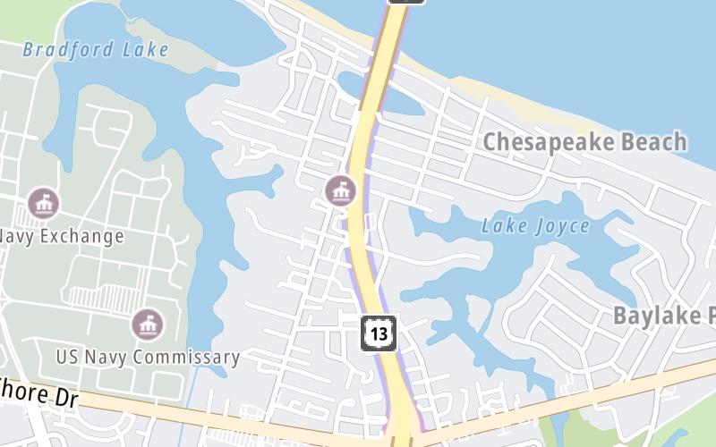
Map image © TomTom Intl BV
This location's approximate GPS Coordinates are 36.91223 x -76.13109.
On to South Thimble Island / Island One, about 3.7 miles away ►
◄ Back to Shore Drive, about 0.6 miles away.
Nearby gas and food are shown on the interactive map below.
Weather & Visibility

Mostly Cloudy
46°F / 7.5°C
Feels Like
41°F / 4.8°C

Visibility
10 Mi / 16.1 Km
3 Hr Precip
0 In / 0.0 Cm

-
ENE Wind
7.9 Mi / 12.8 Km
Gusts
11.2 Mi / 18 Km
See the full forecast for the Norfolk - Chesapeake area
Conditions and forecasts provided in partnership with AccuWeather.

Weather provided in partnership with AccuWeather.
Available Cameras

2.33 Mi
2.56 Mi
Advertising

 Boulevard Bridge ▹
 Downtown Expressway ▹
 Pocahontas Parkway ▹
 Powhite Parkway ▹
 Chesapeake Bay Bridge Tunnel ▹
 Chesapeake Expressway ▹
 Downtown Tunnel ▹
 South Norfolk Jordan Bridge ▹
 Midtown Tunnel ▹
 Dominion Boulevard Veterans Bridge ▹
 Wm Preston Lane Jr Memorial Bridge ▹
 Intercounty Connector MD 200 ▹
 Dulles Greenway ▹
 PA Turnpike 66 ▹
 Beaver Valley Expressway ▹
 Mon Fayette Expressway ▹
 Pennsylvania Turnpike ▹
 Ohio Turnpike ▹
 PA Turnpike 576 ▹
 West Virginia Turnpike ▹


