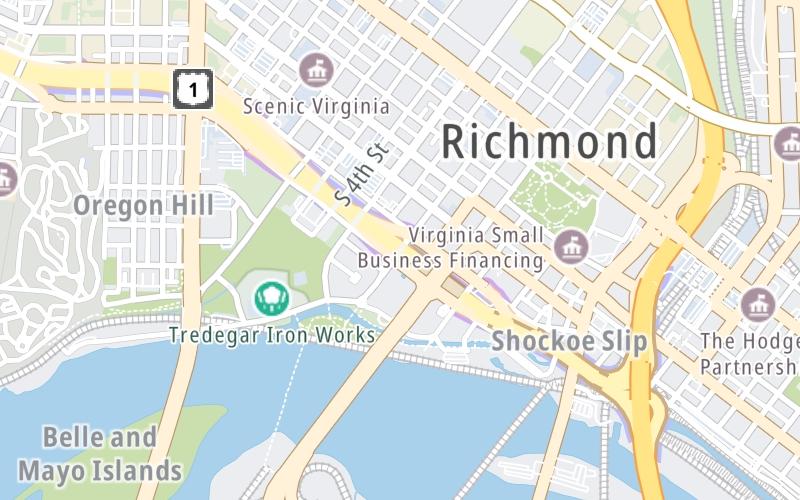
This Location At A Glance
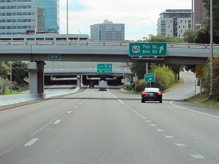
This junction is located in Richmond. NOTE: EB exit / WB enter via 7th.
This location is in the Richmond - State Capital area.
This location's approximate GPS Coordinates are 37.53702 x -77.44029.
Which directions can I travel from here?
From this junction, traffic can only enter going westbound. Traffic can only exit going eastbound.
On to E Canal St / S 10th Street, about 0.2 miles away ►
◄ Back to Byrd St / S 2nd St, about 0.3 miles away.
Nearby gas and food are shown on the interactive map below.
Weather & Visibility

Sunny
78°F / 25.5°C
Feels Like
90°F / 32.3°C

Visibility
23 Mi / 37 Km
3 Hr Precip
0 In / 0.0 Cm

-
SW Wind
1.1 Mi / 1.8 Km
Gusts
3.2 Mi / 5.2 Km
See the full forecast for This Location or the Richmond - State Capital area
Conditions and forecasts provided in partnership with AccuWeather.

Weather provided in partnership with AccuWeather.
Available Cameras

0.37 Mi
0.46 Mi
0.49 Mi
0.61 Mi
0.75 Mi

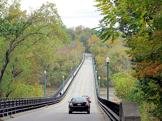
 Boulevard Bridge ▹
 Downtown Expressway ▹
 Pocahontas Parkway ▹
 Powhite Parkway ▹
 Chesapeake Bay Bridge Tunnel ▹
 Chesapeake Expressway ▹
 Downtown Tunnel ▹
 South Norfolk Jordan Bridge ▹
 Midtown Tunnel ▹
 Dominion Boulevard Veterans Bridge ▹
 Wm Preston Lane Jr Memorial Bridge ▹
 Intercounty Connector MD 200 ▹
 Dulles Greenway ▹
 PA Turnpike 66 ▹
 Beaver Valley Expressway ▹
 Mon Fayette Expressway ▹
 Pennsylvania Turnpike ▹
 Ohio Turnpike ▹
 PA Turnpike 576 ▹
 West Virginia Turnpike ▹