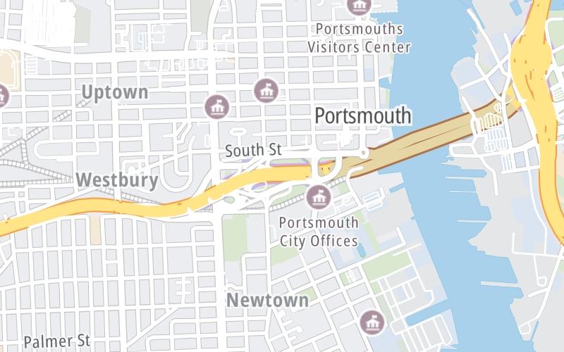
This Location At A Glance
This junction is located in Portsmouth.
This location is in the Norfolk - Chesapeake area.
This location's approximate GPS Coordinates are 36.83086 x -76.30266.
Which directions can I travel from here?
From this junction, traffic can enter traveling both westbound and eastbound. Traffic can also exit traveling both westbound and eastbound.
On to East Side / I–464 / Downtown Norfolk, about 0.9 miles away ►
Nearby gas and food are shown on the interactive map below.
Weather & Visibility

Partly Cloudy
43°F / 6.3°C
Feels Like
48°F / 8.8°C

Visibility
5 Mi / 8 Km
3 Hr Precip
0 In / 0.0 Cm

-
ENE Wind
0.5 Mi / 0.9 Km
Gusts
1.1 Mi / 1.7 Km
See the full forecast for This Location or the Norfolk - Chesapeake area
Conditions and forecasts provided in partnership with AccuWeather.

Weather provided in partnership with AccuWeather.
Available Cameras

451 Ft
0.28 Mi
0.41 Mi
0.66 Mi
0.77 Mi

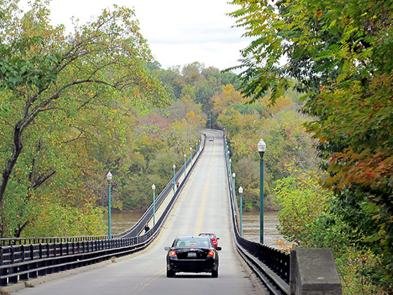
 Boulevard Bridge ▹
 Downtown Expressway ▹
 Pocahontas Parkway ▹
 Powhite Parkway ▹
 Chesapeake Bay Bridge Tunnel ▹
 Chesapeake Expressway ▹
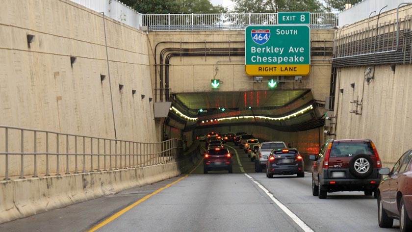
 Downtown Tunnel ▹
 South Norfolk Jordan Bridge ▹
 Midtown Tunnel ▹
 Dominion Boulevard Veterans Bridge ▹
 Wm Preston Lane Jr Memorial Bridge ▹
 Intercounty Connector MD 200 ▹
 Dulles Greenway ▹
 PA Turnpike 66 ▹
 Beaver Valley Expressway ▹
 Mon Fayette Expressway ▹
 Pennsylvania Turnpike ▹
 Ohio Turnpike ▹
 PA Turnpike 576 ▹
 West Virginia Turnpike ▹