This Location At A Glance
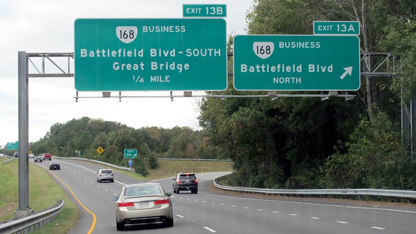
This is Exit 13A/13B of the Chesapeake Expressway.
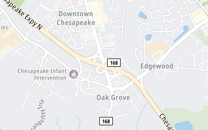
This junction is located in Chesapeake. NOTE: Use 13B to Great Bridge.
This location is in the Norfolk - Chesapeake area.
This location's approximate GPS Coordinates are 36.73692 x -76.24140.
Which directions can I travel from here?
From this junction, traffic can enter traveling both southbound and northbound. Traffic can also exit traveling both southbound and northbound.
On to US 17/Dominion Blvd / I–64 East, about 1.9 miles away ►
◄ Back to Kempsville Road/VA 190 E, about 0.4 miles away.
Nearby gas and food are shown on the interactive map below.
Weather & Visibility

Mostly Sunny
49°F / 9.7°C
Feels Like
55°F / 12.8°C

Visibility
10 Mi / 16.1 Km
3 Hr Precip
0 In / 0.0 Cm

-
NE Wind
4 Mi / 6.5 Km
Gusts
8.9 Mi / 14.3 Km
See the full forecast for This Location or the Norfolk - Chesapeake area
Conditions and forecasts provided in partnership with AccuWeather.

Weather provided in partnership with AccuWeather.
Available Cameras

0.22 Mi
1.23 Mi
1.99 Mi
2.27 Mi
2.29 Mi

 Boulevard Bridge ▹
 Downtown Expressway ▹
 Pocahontas Parkway ▹
 Powhite Parkway ▹
 Chesapeake Bay Bridge Tunnel ▹
 Chesapeake Expressway ▹
 Downtown Tunnel ▹
 South Norfolk Jordan Bridge ▹
 Midtown Tunnel ▹
 Dominion Boulevard Veterans Bridge ▹
 Wm Preston Lane Jr Memorial Bridge ▹
 Intercounty Connector MD 200 ▹
 Dulles Greenway ▹
 PA Turnpike 66 ▹
 Beaver Valley Expressway ▹
 Mon Fayette Expressway ▹
 Pennsylvania Turnpike ▹
 Ohio Turnpike ▹
 PA Turnpike 576 ▹
 West Virginia Turnpike ▹