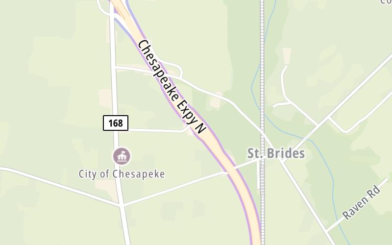
This Location At A Glance
This toll point is located in Chesapeake.
This location is in the Norfolk - Chesapeake area.
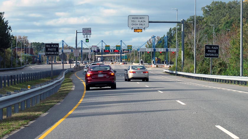
Photo by Turnpikes.com
This location's approximate GPS Coordinates are 36.60865 x -76.20443.
On to Battlefield Blvd/168 Bus, about 0.6 miles away ►
◄ Back to Gallbush Rd / Battlefield Blvd, about 2.4 miles away.
Nearby gas and food are shown on the interactive map below.
Weather & Visibility

Partly Sunny
65°F / 18.5°C
Feels Like
64°F / 17.8°C

Visibility
10 Mi / 16.1 Km
3 Hr Precip
0 In / 0.0 Cm

-
SW Wind
8.3 Mi / 13.4 Km
Gusts
17.8 Mi / 28.6 Km
See the full forecast for the Norfolk - Chesapeake area
Conditions and forecasts provided in partnership with AccuWeather.

Weather provided in partnership with AccuWeather.
Available Cameras

0.31 Mi
Advertising

 Boulevard Bridge ▹
 Downtown Expressway ▹
 Pocahontas Parkway ▹
 Powhite Parkway ▹
 Chesapeake Bay Bridge Tunnel ▹
 Chesapeake Expressway ▹
 Downtown Tunnel ▹
 South Norfolk Jordan Bridge ▹
 Midtown Tunnel ▹
 Dominion Boulevard Veterans Bridge ▹
 Wm Preston Lane Jr Memorial Bridge ▹
 Intercounty Connector MD 200 ▹
 Dulles Greenway ▹
 PA Turnpike 66 ▹
 Beaver Valley Expressway ▹
 Mon Fayette Expressway ▹
 Pennsylvania Turnpike ▹
 Ohio Turnpike ▹
 PA Turnpike 576 ▹
 West Virginia Turnpike ▹