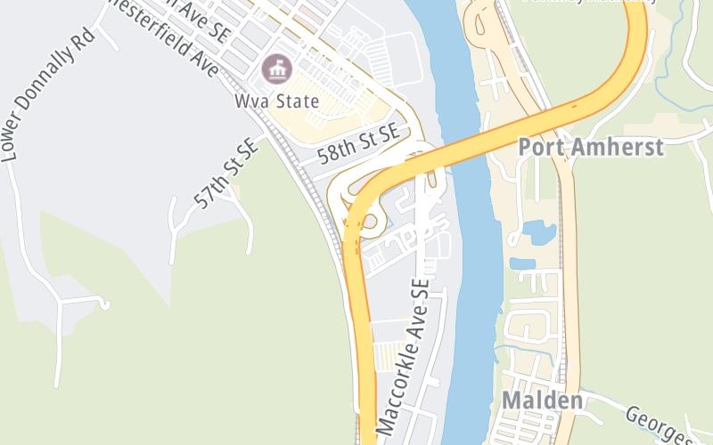
4:47 pm Local Time
Mostly Cloudy
82°F / 28°C
Feels Like
84°F / 28.7°C
Visibility
28 Mi / 45.1 Km
3 Hr Precip
0 In / 0.0 Cm
SW Wind
6.2 Mi / 10 Km
Gusts
11.8 Mi / 18.9 Km
An area traffic map, with available traffic cameras, shows driving conditions, from current traffic to mother nature's influence on the road. These follow the short-range forecasts below.
Tuesday forecast: Very warm with times of sun and clouds; a thunderstorm in spots late this afternoon; thunderstorms can bring localized damaging wind gusts

Partly Sunny W/ T-storms
55% Chance Rain
84° F/28.9° C
SW Wind
10 to 24 Mi/
17 to 39 Km
Sunrise
6:53 AM
Tuesday night: Partly cloudy and warm

Partly Cloudy
5% Chance Rain
64° F/17.8° C
SSW Wind
8 to 14 Mi/
13 to 22 Km
Sunset
8:02 PM
Wednesday forecast: Very warm with the temperature approaching the record high of 89 set in 1994 with periods of sun

Intermittent Clouds
8% Chance Rain
88° F/31.1° C
SW Wind
10 to 23 Mi/
17 to 37 Km
Sunrise
6:51 AM
Wednesday night: Partly cloudy and warm

Partly Cloudy
2% Chance Rain
62° F/16.7° C
SSW Wind
7 to 8 Mi/
11 to 13 Km
Sunset
8:03 PM
Thursday forecast: Breezy in the morning; very warm with the temperature approaching the record high of 90 set in 1976 with clouds and sun with a thunderstorm in the afternoon

Partly Sunny W/ T-storms
55% Chance Rain
88° F/31.1° C
SW Wind
12 to 25 Mi/
19 to 41 Km
Sunrise
6:50 AM
Thursday night: Mostly cloudy and warm with a couple of showers and a thunderstorm; gusty winds and small hail can accompany any downpour

Thunderstorms
88% Chance Rain
61° F/16.1° C
SW Wind
8 to 15 Mi/
13 to 24 Km
Sunset
8:04 PM
This junction is located in Charleston, at GPS 38.30695 x -81.56635. Kanawha City is nearby. This location is in the Charleston - State Capital area.
You can pan and zoom the interactive map. Select cameras to see the on-road traffic feeds, and pick exits or other markers for conditions at those locations.
Journey to key destinations around and adjacent to West Virginia!
Communities in this metro area include Charleston, Malden, South Ruffner, and Snow Hill.
Individual toll maps for this region are listed below.
Communities in this metro area include Beckley, Beaver, Mac Arthur, Daniels, and Shady Spring.
Individual toll maps for this region are listed below.
Communities in this metro area include Parkersburg, North Hills, Vienna, and Belpre, Ohio.
Individual toll maps for this region are listed below.
Communities in this metro area include Pittsburgh, Cranberry Township, Beaver Valley, New Castle, Washington, Uniontown, Cheat Lake, West Virginia, Boardman, Ohio, and Youngstown, Ohio.
Individual toll maps for this region are listed below.