12:16 pm Local Time
Cloudy
78°F / 25.3°C
Feels Like:
88°F / 31.3°C
Visibility
6 Mi / 9.7 Km
3-Hour Precip:
0 In / 0.0 Cm
Southeast
Winds (SE)
1.8 MPH / 3 KPH
Gusts:
4.6 MPH / 7.4 KPH
Forecast weather and driving conditions follow the jump. These include an hour-by-hour forecast for the next 12-hours, a three-day forecast and an extended forecast, for extended travel planning.
An area traffic map, with available traffic cameras, shows driving conditions, from current traffic to mother nature's influence on the road. These follow the short-range forecasts below.
BELVIDERE ST @ CANAL ST
Camera Direction: SOUTH. Source: VDOT - Richmond 23220
Cameras Closest To S Belvidere St / Byrd St
There are many more cameras to view. Please see the map below to see all cameras within a two-mile (2 mile) radius.
Sunday forecast: Mostly cloudy and not as warm but humid; a couple of showers late this morning followed by a thunderstorm this afternoon; there can be ponding on roadways
Thunderstorms
88% Chance Rain
79° F/26.1° C
E Wind
7 to 12 Mi/
11 to 19 Km
Sunrise
5:48 AM
Sunday night: Mostly cloudy and not as warm but humid; a couple of showers late this morning followed by a thunderstorm this afternoon; there can be ponding on roadways
Thunderstorms
90% Chance Rain
68° F/20.0° C
NNE Wind
6 to 13 Mi/
9 to 20 Km
Sunset
8:33 PM
Monday forecast: Cloudy and humid with a couple of showers and a thunderstorm, mainly early in the day
Thunderstorms
78% Chance Rain
76° F/24.4° C
NNW Wind
6 to 17 Mi/
9 to 28 Km
Sunrise
5:48 AM
Monday night: Cloudy and humid with a couple of showers and a thunderstorm, mainly early in the day
Cloudy
25% Chance Rain
68° F/20.0° C
NE Wind
5 to 14 Mi/
7 to 22 Km
Sunset
8:33 PM
Tuesday forecast: Low clouds breaking for some sun, humid and warmer; a passing morning shower followed by a thunderstorm in the afternoon
Mostly Cloudy W/ T-storms
80% Chance Rain
85° F/29.4° C
SSE Wind
7 to 17 Mi/
11 to 28 Km
Sunrise
5:48 AM
Tuesday night: Low clouds breaking for some sun, humid and warmer; a passing morning shower followed by a thunderstorm in the afternoon
Mostly Cloudy
42% Chance Rain
71° F/21.7° C
SSW Wind
6 to 18 Mi/
9 to 30 Km
Sunset
8:33 PM
This junction is located in Richmond, at GPS 37.54236 x -77.44911. This location is in the Richmond - State Capital area.
You can pan and zoom the interactive map. Select cameras to see the on-road traffic feeds, and pick exits or other markers for conditions at those locations.
Journey to key destinations around and adjacent to Virginia!
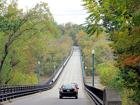
Communities in this metro area include Richmond, Meadowbrook, Manchester, and Brandermill.
Individual toll maps for this region are listed below.
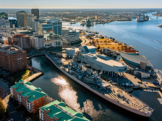
Communities in this metro area include Norfolk, Chesapeake, Virginia Beach, Newport News, Portsmouth, Suffolk, and Moyock, North Carolina.
Individual toll maps for this region are listed below.
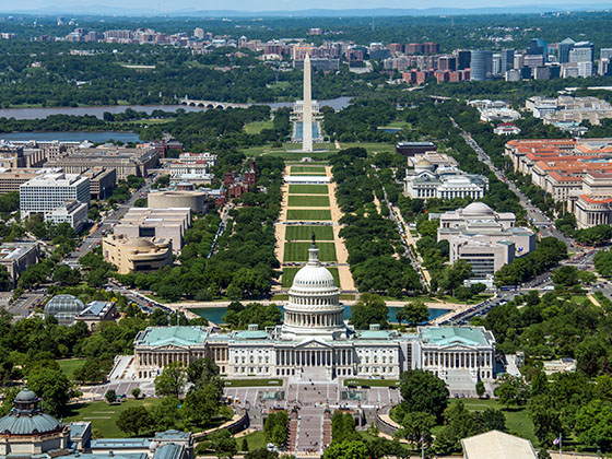
Communities in this metro area include Washington, Dc, Fairfax County, Virginia, Loundoun County, Virginia, Montgomery County, Maryland, and Prince George's County, Maryland.
Individual toll maps for this region are listed below.
Communities in this metro area include Pittsburgh, Cranberry Township, Beaver Valley, New Castle, Washington, Uniontown, Cheat Lake, West Virginia, Boardman, Ohio, and Youngstown, Ohio.
Individual toll maps for this region are listed below.
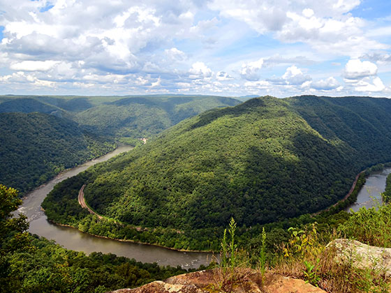
Communities in this metro area include Charleston, Malden, South Ruffner, and Snow Hill.
Individual toll maps for this region are listed below.
Communities in this metro area include Beckley, Beaver, Mac Arthur, Daniels, and Shady Spring.
Individual toll maps for this region are listed below.