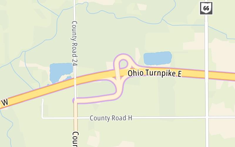
2:49 am Local Time
Mostly Cloudy
29°F / -1.5°C
Feels Like
24°F / -4.7°C
Visibility
11 Mi / 17.7 Km
3 Hr Precip
0 In / 0.0 Cm
W Wind
7.1 Mi / 11.4 Km
Gusts
12.8 Mi / 20.6 Km
An area traffic map, with available traffic cameras, shows driving conditions, from current traffic to mother nature's influence on the road. These follow the short-range forecasts below.
Friday forecast: Mostly cloudy and windy

Mostly Cloudy
25% Chance Rain
38° F/3.3° C
SW Wind
21 to 48 Mi/
33 to 78 Km
Sunrise
7:26 AM
Friday night: Windy in the evening; mostly cloudy

Mostly Cloudy
0% Chance Rain
29° F/-1.7° C
W Wind
15 to 38 Mi/
24 to 61 Km
Sunset
6:17 PM
Saturday forecast: Cloudy

Cloudy
2% Chance Snow
39° F/3.9° C
W Wind
10 to 17 Mi/
17 to 28 Km
Sunrise
7:24 AM
Saturday night: Cloudy with a bit of snow late with little or no accumulation

Flurries
59% Chance Snow
29° F/-1.7° C
WNW Wind
6 to 9 Mi/
9 to 15 Km
Sunset
6:18 PM
Sunday forecast: Cloudy and breezy with snow showers with little or no accumulation

Flurries
89% Chance Snow
34° F/1.1° C
WNW Wind
15 to 29 Mi/
24 to 46 Km
Sunrise
7:23 AM
Sunday night: Cloudy and breezy with a couple of snow showers

Flurries
91% Chance Snow
21° F/-6.1° C
NW Wind
15 to 29 Mi/
24 to 46 Km
Sunset
6:19 PM
This junction is located in Archbold, at GPS 41.59160 x -84.32010. This location is in the Toledo - Western Ohio area; it also overlaps with the Northern Indiana area.
You can pan and zoom the interactive map. Select cameras to see the on-road traffic feeds, and pick exits or other markers for conditions at those locations.
Journey to key destinations around and adjacent to Ohio!
Communities in this metro area include Cleveland, Akron, Boardman, Lorain, Aurora, Youngstown, New Castle, Pennsylvania, and Beaver Falls, Pennsylvania.
Individual toll maps for this region are listed below.
Communities in this metro area include Toledo, Perrysburg, Maumee, Montpelier, and Wauseon.
Individual toll maps for this region are listed below.
Communities in this metro area include Castalia, Sandusky, Norwalk, Bellevue, Huron, Milan, and Monroeville.
Individual toll maps for this region are listed below.
Communities in this metro area include Columbus, Upper Arlington, Westerville, New Albany, Worthington, Dublin, Pickerington, and Reynoldsburg.
Individual toll maps for this region are listed below.
Roads Within Region
Communities in this metro area include Cincinnati, Norwood, Cheviot, Northbrook, Reading, Covington, Kentucky, and Newport, Kentucky.
Individual toll maps for this region are listed below.
Roads Within Region
Communities in this metro area include Gary, South Bend, Elkhart, Portage, and Fremont.
Individual toll maps for this region are listed below.
Communities in this metro area include Pittsburgh, Cranberry Township, Beaver Valley, New Castle, Washington, Uniontown, Cheat Lake, West Virginia, Boardman, Ohio, and Youngstown, Ohio.
Individual toll maps for this region are listed below.
Communities in this metro area include Parkersburg, North Hills, Vienna, and Belpre, Ohio.
Individual toll maps for this region are listed below.
Communities in this metro area include Detroit, Grosse Ile, Ann Arbor, Pontiac, and Lansing.
Individual toll maps for this region are listed below.