Share

Elkhart Traffic And Weather

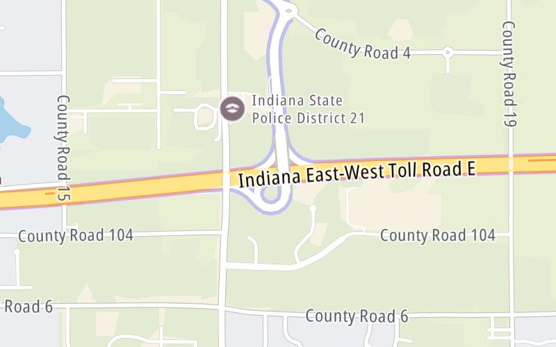
Right Now At CR 17 and The Indiana Toll Road

Current Weather And Visibility

5:51 am Local Time

  • 05 7 03
  • Cloudy

    33°F / 0.6°C

    Feels Like

    26°F / -3.1°C

  • Visibility

    10 Mi / 16.1 Km

    3 Hr Precip

    0 In / 0.0 Cm

  • NNW Wind

    8.1 Mi / 13 Km

    Gusts

    17.3 Mi / 27.8 Km

Conditions and forecasts provided in partnership with AccuWeather.

AccuWeather logo

Weather provided in partnership with AccuWeather.

AccuWeather logo

An area traffic map, with available traffic cameras, shows driving conditions, from current traffic to mother nature's influence on the road. These follow the short-range forecasts below.

Driving Forecast Traffic Map

Static map of Indiana Toll Road at CR 17
Advertising

Driving Forecast For Elkhart, At CR 17

Next 12 Hours

5:51 am Local Time

Conditions and forecasts provided in partnership with AccuWeather.

AccuWeather logo

Weather provided in partnership with AccuWeather.

AccuWeather logo
Advertising

Today, Tomorrow & The Next Day

Monday March 23

Monday forecast: Partly sunny and breezy

Partly Sunny

0% Chance Rain

38° F/3.3° C

NNW Wind

16 to 32 Mi/

26 to 52 Km

Sunrise

6:43 AM

Monday night: Partly cloudy

Partly Cloudy

0% Chance Rain

26° F/-3.3° C

ENE Wind

6 to 16 Mi/

9 to 26 Km

Sunset

6:59 PM

Tuesday March 24

Tuesday forecast: Rather cloudy

Mostly Cloudy

0% Chance Rain

51° F/10.6° C

SSW Wind

8 to 13 Mi/

13 to 20 Km

Sunrise

6:41 AM

Tuesday night: Cloudy most of the time

Mostly Cloudy

0% Chance Rain

36° F/2.2° C

SSE Wind

7 to 9 Mi/

11 to 15 Km

Sunset

7:00 PM

Wednesday March 25

Wednesday forecast: Cloudy

Cloudy

7% Chance Rain

64° F/17.8° C

SSW Wind

12 to 22 Mi/

19 to 35 Km

Sunrise

6:39 AM

Wednesday night: Mostly cloudy

Mostly Cloudy

16% Chance Rain

46° F/7.8° C

SSW Wind

9 to 13 Mi/

15 to 20 Km

Sunset

7:01 PM

Advertising

Area Traffic Map

This junction is located in Elkhart, at GPS 41.73054 x -85.88526. South Bend is nearby. This location is in the Northern Indiana area.

You can pan and zoom the interactive map. Select cameras to see the on-road traffic feeds, and pick exits or other markers for conditions at those locations.

Advertising

EXPLORE INDIANA

Journey to key destinations around and adjacent to Indiana!

Map Of This Region ▹

Communities in this metro area include Gary, South Bend, Elkhart, Portage, and Fremont.

Individual toll maps for this region are listed below.

Map Of This Region ▹

Communities in this metro area include Chicago, Aurora, Oak Lawn, Des Plaines, Waukegan, Highland Park, Gary, Indiana, Schaumburg, Naperville, Oak Brook, and Joliet.

Individual toll maps for this region are listed below.

Map Of This Region ▹

Communities in this metro area include Louisville and Jeffersonville, Indiana.

Individual toll maps for this region are listed below.

Map Of This Region ▹

Communities in this metro area include Toledo, Perrysburg, Maumee, Montpelier, and Wauseon.

Individual toll maps for this region are listed below.

Map Of This Region ▹

Communities in this metro area include Detroit, Grosse Ile, Ann Arbor, Pontiac, and Lansing.

Individual toll maps for this region are listed below.

Advertising
Advertising
Turnpikes.com is proud to partner with the following: