A Quick Look At The Louisville - Southern Indiana Area
For more about this region, read our wiki for the area.

The Louisville - Southern Indiana area includes the following cities: Louisville and Jeffersonville, Indiana.
What You Will Find On The Regional Map
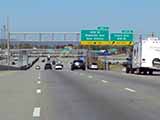
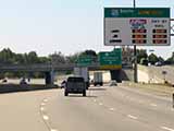
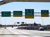
The interactive metro/regional map above shows exits and toll points for each toll road that is in, or crosses into, the Louisville - Southern Indiana area.
Markers can be selected for a map of that specific exit, toll gantry or other point of interest. Exit maps will show you nearby dining, gas, EV charging, hotels and other services.
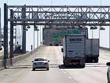
The following (3) toll roads are in this area, cross through this area or connect with this region:
 ▸ Lewis And Clark Bridge
 ▸ Abraham Lincoln Bridge
Selecting a road will reveal a map of that toll road.

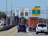
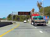
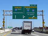
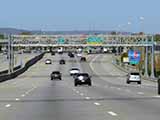
 Louisville-Southern Indiana Ohio River Bridges Project