Cline Avenue Bridge Traffic And Weather

Current Weather And Visibility

Key Regions Along The Cline Avenue Bridge

Northern Indiana

Currently Next 12 Hours

  • -5 6 06
  • Cloudy

    72°F

    Feels Like:

    74°F

  • Visibility

    37 Mi

    Humidity:

    80 %

  • North Northeast
    Wind

    1.8 MPH

    Gusts:

    3.5 MPH

Chicagoland - Northwestern Indiana

Currently Next 12 Hours

  • -6 6 06
  • Sunny

    61°F

    Feels Like:

    61°F

  • Visibility

    9 Mi

    Humidity:

    80 %

  • North Northeast
    Wind

    5.1 MPH

    Gusts:

    8.5 MPH

Conditions and forecasts provided in partnership with AccuWeather.

AccuWeather logo

Weather provided in partnership with AccuWeather.

AccuWeather logo
Cline Avenue Bridge static map

Indiana Radar & Satellite

NOAA composite satellite & weather radar imagery.

Images from GOES-East Great Lakes Sector. Sequence may take a moment to initialize.

  • GOES 16: GOES-East Great Lakes Sector
  • GOES 16: GOES-East Great Lakes Sector
  • GOES 16: GOES-East Great Lakes Sector
  • GOES 16: GOES-East Great Lakes Sector
  • GOES 16: GOES-East Great Lakes Sector
  • GOES 16: GOES-East Great Lakes Sector
  • GOES 16: GOES-East Great Lakes Sector
  • GOES 16: GOES-East Great Lakes Sector

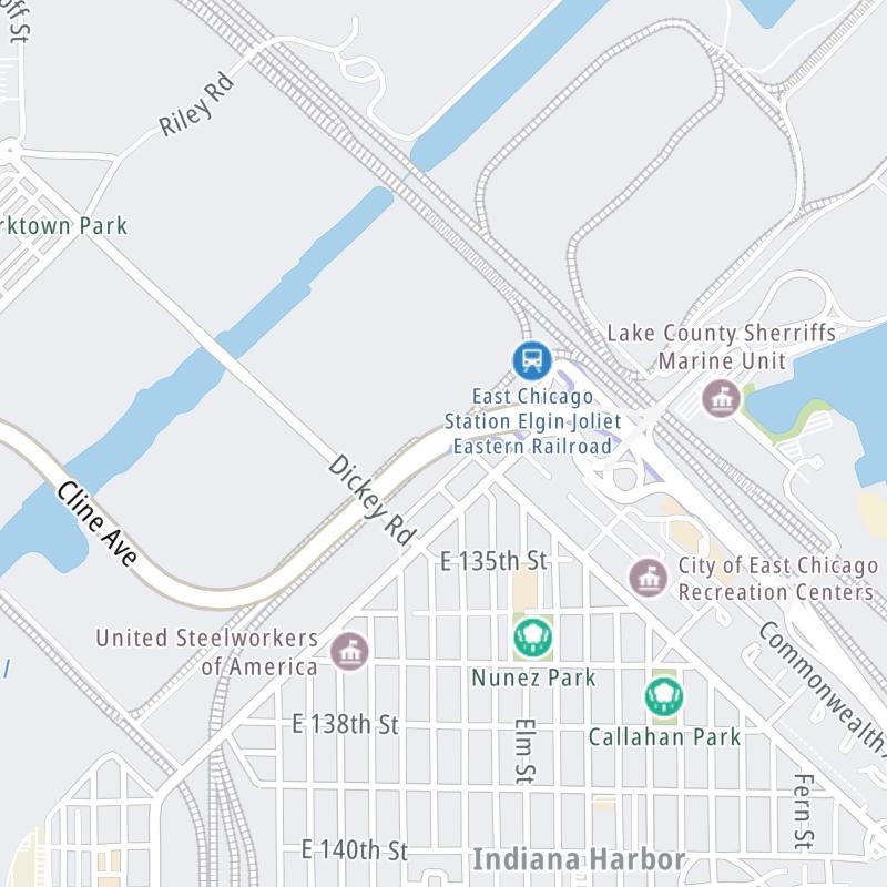
Weather & Travel Conditions With The Road Map

The Cline Avenue Bridge is also known as Indiana 912. This bridge serves East Chicago, Hammond, and Portage. Use the interactive map of the Cline Avenue Bridge to pick a location for destination weather.

Pan and zoom the interactive map to your chosen position. Select markers to view conditions at that location and see nearby available traffic cameras along the bridge.

View Map Regional Forecasts

Advertising
Advertising

The Cline Avenue Bridge Road Map

Select markers on the map for location-specific traffic and weather conditions along the Cline Avenue Bridge.

Advertising
Advertising

Travel Alerts

No alerts to display at this time.

Advertising
Advertising

Regional Driving Forecasts For The Cline Avenue Bridge

Northern Indiana 12-Hour Forecast

8:33 pm Local Time

Conditions and forecasts provided in partnership with AccuWeather.

AccuWeather logo

Weather provided in partnership with AccuWeather.

AccuWeather logo

Chicagoland - Northwestern Indiana 12-Hour Forecast

7:33 pm Local Time

Data is pending ...

Conditions and forecasts provided in partnership with AccuWeather.

AccuWeather logo

Weather provided in partnership with AccuWeather.

AccuWeather logo
Advertising
Advertising

EXPLORE INDIANA

Journey to key destinations around and adjacent to Indiana!

Map Of This Region ▹

Communities in this metro area include Gary, South Bend, Elkhart, Portage, and Fremont.

Individual toll maps for this region are listed below.

Map Of This Region ▹

Communities in this metro area include Chicago, Aurora, Oak Lawn, Des Plaines, Waukegan, Highland Park, Gary, Indiana, Schaumburg, Naperville, Oak Brook, and Joliet.

Individual toll maps for this region are listed below.

Map Of This Region ▹

Communities in this metro area include Louisville and Jeffersonville, Indiana.

Individual toll maps for this region are listed below.

Map Of This Region ▹

Communities in this metro area include Toledo, Perrysburg, Maumee, Montpelier, and Wauseon.

Individual toll maps for this region are listed below.

Map Of This Region ▹

Communities in this metro area include Detroit, Grosse Ile, Ann Arbor, Pontiac, and Lansing.

Individual toll maps for this region are listed below.

Advertising
Advertising
Turnpikes.com is proud to partner with the following: