About This Location
At A Glance
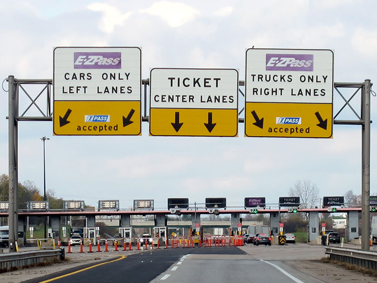
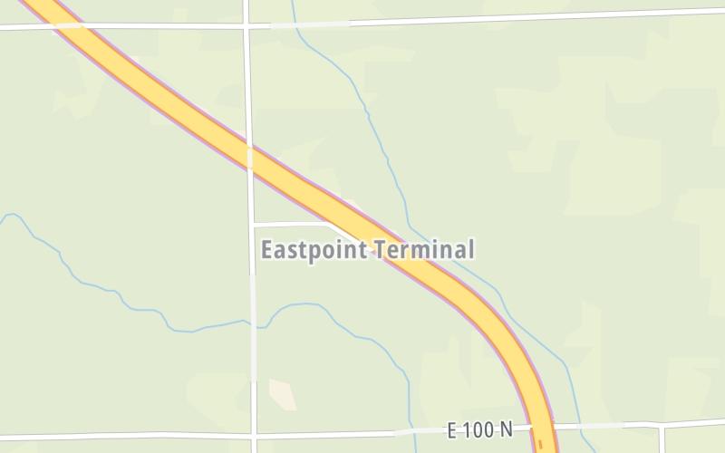
This toll point is located in . NOTE: Start / End of ticket system..
This location is in the Northern Indiana area; it also overlaps with the Toledo - Western Ohio area.
This location's approximate GPS Coordinates are 41.66611 x -84.85323.
On to Ohio Turnpike, about 4.0 miles away ►
◄ Back to I–69 / US 27 / SR 120 / SR 127, about 9.1 miles away.
Above: Photo by Turnpikes.comUsing The POI Map
The interactive map will help you orient this location in relationship to other junctions.
Current driving conditions and weather may also be found below the map.


 Indiana Toll Road ▹
 Chicago Skyway ▹
 Tri State Tollway ▹
 Ohio Turnpike ▹
 Cline Avenue Bridge ▹
 Jane Addams Memorial Tollway ▹
 Ronald Reagan Memorial Tollway ▹
 Veterans Memorial Tollway ▹
 Houbolt Road Extension ▹
 Lewis And Clark Bridge ▹
 Abraham Lincoln Bridge ▹

 Ambassador Bridge ▹
 Detroit Windsor Tunnel ▹


