There are travel alerts for this roadway. See them below
Current Weather And Visibility
Key Regions Along The Polk Parkway
Tampa Bay - West Central Florida
Currently Next 12 Hours

Partly Sunny
89°F
Feels Like:
101°F
Visibility
10 Mi
Humidity:
52 %
SSW Wind
6.2 MPH
Gusts:
10.5 MPH
Conditions and forecasts provided in partnership with AccuWeather.

Weather provided in partnership with AccuWeather.
Florida Radar & Satellite
NOAA composite satellite & weather radar imagery.
Images from GOES-East Southeast Sector. Sequence may take a moment to initialize.
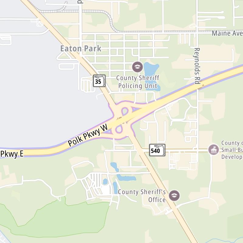
Weather & Travel Conditions With The Road Map
This local toll road serves multiple communities, including Lakeland, Polk City, Auburndale, and Lake Hancock. Use the interactive map of the Polk Parkway to pick a location for destination weather.
Pan and zoom the interactive map to your chosen position. Markers depict exits or tolling points, and selecting the marker lets you get location-specific weather and traffic conditions.

 Garcon Point Bridge ▹
 Bob Sikes Bridge ▹
 SR 293 ▹
 First Coast Expressway ▹
 Central Florida Greeneway/Seminole Expy ▹
 Florida's Turnpike ▹
 East West Expressway ▹
 Beachline Expressway ▹
 Western Beltway/Wekiva Pkwy ▹
 Apopka Expressway ▹
 Poinciana Parkway ▹
 SR 453 ▹
 Goldenrod Road Extension ▹
 Osceola Parkway ▹
 SR 451 ▹
 Polk Parkway ▹
 Selmon Expressway ▹
 Suncoast Parkway/Veterans Expy ▹
 Sunshine Skyway ▹
 Pinellas Bayway ▹
 Gateway Expressway ▹

 Airport Expressway ▹
 Alligator Alley ▹
 Dolphin Expressway ▹
 Don Shula Expressway ▹
 Gratigny Parkway ▹
 Sawgrass Expressway ▹
 Snapper Creek Expressway ▹
 Rickenbacker Causeway ▹
 Venetian Causeway ▹
 Card Sound Road ▹
 Sanibel Causeway ▹
 Midpoint Memorial Bridge ▹
 Cape Coral Bridge ▹


