A Quick Look At The Cape Coral Bridge

This bridge serves Cape Coral and Fort Myers.
This road is in the Fort Myers - Southwest Florida area.
A complete list of exits can be found below.
How To Pay On the Cape Coral Bridge
Accepted types of payment taken while on the road
Payment Type
Tag
Plate
Cash
Card
App
Available when checked
Tag
Plate
No cash
No card
App
The Cape Coral Bridge offers license-plate tolling for those without a compatible transponder.
Transponders You Can Use
For drivers with a transponder, the following passes can be used on the Cape Coral Bridge

- leeway
- sunpass pro
- sunpass
- epass
- epass xtra
- peach pass
- palmetto pass
- uni
- k-tag
- pikepass
- tolltag
- eztag


Learn about transponders and accounts in Florida.
View MapToll CalculatorAll Florida Tolls
Our new toll and trip calculator is complete, but many roads' data are still being entered into our database. The legacy calculator remains active for current, accurate tolls.
Advertising
 Lee County Toll Facilities
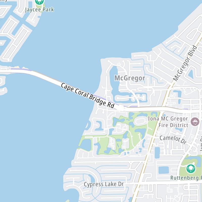

 Garcon Point Bridge ▹
 Bob Sikes Bridge ▹
 SR 293 ▹
 First Coast Expressway ▹
 Central Florida Greeneway/Seminole Expy ▹
 Florida's Turnpike ▹
 East West Expressway ▹
 Beachline Expressway ▹
 Western Beltway/Wekiva Pkwy ▹
 Apopka Expressway ▹
 Poinciana Parkway ▹
 SR 453 ▹
 Goldenrod Road Extension ▹
 Osceola Parkway ▹
 SR 451 ▹
 Polk Parkway ▹
 Selmon Expressway ▹
 Suncoast Parkway/Veterans Expy ▹
 Sunshine Skyway ▹
 Pinellas Bayway ▹
 Gateway Expressway ▹

 Airport Expressway ▹
 Alligator Alley ▹
 Dolphin Expressway ▹
 Don Shula Expressway ▹
 Gratigny Parkway ▹
 Sawgrass Expressway ▹
 Snapper Creek Expressway ▹
 Rickenbacker Causeway ▹
 Venetian Causeway ▹
 Card Sound Road ▹
 Sanibel Causeway ▹
 Midpoint Memorial Bridge ▹
 Cape Coral Bridge ▹


