Share

Green Cove Springs Traffic And Weather

Static map of First Coast Expressway at US Hwy 17

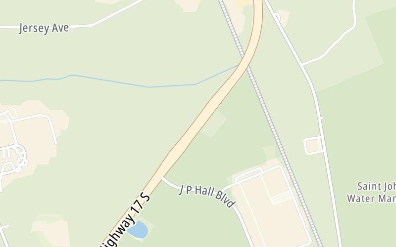
Right Now At US Hwy 17 and The First Coast Expressway

Current Weather And Visibility

10:38 am Local Time

  • 10 7 01
  • Sunny

    55°F / 12.7°C

    Feels Like

    64°F / 17.6°C

  • Visibility

    15 Mi / 24.1 Km

    3 Hr Precip

    0 In / 0.0 Cm

  • NNW Wind

    1.1 Mi / 1.7 Km

    Gusts

    3.1 Mi / 5 Km

Conditions and forecasts provided in partnership with AccuWeather.

AccuWeather logo

Weather provided in partnership with AccuWeather.

AccuWeather logo

Forecast weather and driving conditions follow the jump. These include an hour-by-hour forecast for the next 12-hours, a three-day forecast and an extended forecast, for extended travel planning.

An area traffic map, with available traffic cameras, shows driving conditions, from current traffic to mother nature's influence on the road. These follow the short-range forecasts below.

Driving Forecast Traffic Map

Advertising
Advertising

Driving Forecast For Green Cove Springs, At US Hwy 17

Next 12 Hours

10:38 am Local Time

Conditions and forecasts provided in partnership with AccuWeather.

AccuWeather logo

Weather provided in partnership with AccuWeather.

AccuWeather logo

Available Cameras

No camera feed …

There is no currently-available traffic camera feed for this location.

Next Three (3) Days

Friday January 30

Friday forecast: Increasing cloudiness

Mostly Cloudy

0% Chance Rain

66° F/18.9° C

WSW Wind

6 to 15 Mi/

9 to 24 Km

Sunrise

7:18 AM

Friday night: Mostly cloudy with a shower toward dawn

Showers

11% Chance Tstorms

46° F/7.8° C

NW Wind

7 to 10 Mi/

11 to 17 Km

Sunset

6:02 PM

Saturday January 31

Saturday forecast: Mostly cloudy, windy and cooler with a passing shower or two

Showers

80% Chance Rain

55° F/12.8° C

WNW Wind

16 to 40 Mi/

26 to 65 Km

Sunrise

7:18 AM

Saturday night: Very windy; clear to partly cloudy and very cold; freezing temperatures in the normally colder spots

Windy

0% Chance Rain

24° F/-4.4° C

WNW Wind

22 to 44 Mi/

35 to 70 Km

Sunset

6:03 PM

Sunday February 1

Sunday forecast: Breezy and colder with plenty of sunshine

Sunny

2% Chance Rain

46° F/7.8° C

WNW Wind

15 to 29 Mi/

24 to 46 Km

Sunrise

7:17 AM

Sunday night: Clear and very cold

Cold

2% Chance Rain

25° F/-3.9° C

WNW Wind

7 to 13 Mi/

11 to 20 Km

Sunset

6:04 PM

Advertising
Advertising

Area Traffic Map

This junction is located in Green Cove Springs, at GPS 29.95128 x -81.67606. This location is in the Jacksonville - Northeast Florida area.

You can pan and zoom the interactive map. Select cameras to see the on-road traffic feeds, and pick exits or other markers for conditions at those locations.

Advertising
Advertising

Extended Forecast For Green Cove Springs, At US Hwy 17

Ten (10) Day Travel Planner

Go Online Before You Go On The Road!®

Conditions and forecasts provided in partnership with AccuWeather.

AccuWeather logo

Weather provided in partnership with AccuWeather.

AccuWeather logo
Advertising
Advertising

EXPLORE FLORIDA

Journey to key destinations around and adjacent to Florida!

Map Of This Region ▹

Communities in this metro area include Destin, Pensacola Beach, Pensacola, Niceville, and Gulf Breeze.

Individual toll maps for this region are listed below.

Map Of This Region ▹

Communities in this metro area include Jacksonville and Middleburg.

Individual toll maps for this region are listed below.

Map Of This Region ▹

Communities in this metro area include Apopka, Cocoa, Kissimmee, Lake Buena Vista, Orlando, Saint Cloud, Sanford, Titusville, Melbourne, Poinciana, and Mount Dora.

Individual toll maps for this region are listed below.

Map Of This Region ▹

Communities in this metro area include Bradenton, Brandon, Saint Petersburg, Spring Hill, and Tampa.

Individual toll maps for this region are listed below.

Map Of This Region ▹

Communities in this metro area include Fort Pierce, Port Saint Lucie, Stuart, and Vero Beach.

Individual toll maps for this region are listed below.

Map Of This Region ▹

Communities in this metro area include Fort Lauderdale, Pompano Beach, Hialeah, Opa Locka, Homestead, Kendall, Key Largo, Miramar, Miami, Hollywood, Sunrise, Boca Raton, Delray Beach, West Palm Beach, Jupiter, Davie, Coral Springs, Lake Worth, and Boynton Beach.

Individual toll maps for this region are listed below.

Map Of This Region ▹

Communities in this metro area include Fort Myers, Naples, and Cape Coral.

Individual toll maps for this region are listed below.

Map Of This Region ▹

Communities in this metro area include Tallahassee, Quincy, Midway, and Fort Braden.

Individual toll maps for this region are listed below.

tallahassee-state capital

Roads Within Region

Map Of This Region ▹

Map Of This Region ▹

Communities in this metro area include Mobile, Daphne, Dauphin Island, Chickasaw, and Spanish Fort.

Individual toll maps for this region are listed below.

beaches-gulf coast

Roads Within Region

Map Of This Region ▹

Advertising
Advertising
Turnpikes.com is proud to partner with the following: