Share

Ohio Turnpike At Swanton Toll Plaza

Advertising
Advertising

This Location At A Glance

This toll point is located in Swanton. Toledo is nearby.

Swanton Toll Plaza
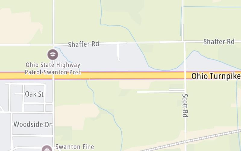
Map image © TomTom Intl BV

This location's approximate GPS Coordinates are 41.59996 x -83.87292.

Interactive Map Below


On to Toledo Airport/Swanton / SR 2, about 3.7 miles away ►

◄ Back to Delta/Lyons / SR 109, about 9.1 miles away.

Nearby gas and food are shown on the interactive map below.

View Map

Weather & Visibility

  • 18 7 01
  • Cloudy

    14°F / -10°C

    Feels Like

    23°F / -4.7°C

  • Visibility

    10 Mi / 16.1 Km

    3 Hr Precip

    0 In / 0.0 Cm

  • N Wind

    0 Mi / 0 Km

    Gusts

    5.1 Mi / 8.3 Km


Available Cameras

No camera feed …

There is no currently-available traffic camera feed for this location.

Advertising

Closest Food, Gas, EV And Other Services Near Swanton Toll Plaza

The map shows traffic cameras and services in about a two-mile radius. Not all locations have cameras

Advertising

Discover Ohio Attractions

Hotels and destinations header

Hotels & Airports

Destination Travel

Advertising
Advertising

EXPLORE OHIO

Journey to key destinations around and adjacent to Ohio!

Map Of This Region ▹

Communities in this metro area include Cleveland, Akron, Boardman, Lorain, Aurora, Youngstown, New Castle, Pennsylvania, and Beaver Falls, Pennsylvania.

Individual toll maps for this region are listed below.

Map Of This Region ▹

Communities in this metro area include Toledo, Perrysburg, Maumee, Montpelier, and Wauseon.

Individual toll maps for this region are listed below.

Map Of This Region ▹

Communities in this metro area include Castalia, Sandusky, Norwalk, Bellevue, Huron, Milan, and Monroeville.

Individual toll maps for this region are listed below.

Map Of This Region ▹

Communities in this metro area include Columbus, Upper Arlington, Westerville, New Albany, Worthington, Dublin, Pickerington, and Reynoldsburg.

Individual toll maps for this region are listed below.

columbus-state capital

Roads Within Region

Map Of This Region ▹

Map Of This Region ▹

Communities in this metro area include Cincinnati, Norwood, Cheviot, Northbrook, Reading, Covington, Kentucky, and Newport, Kentucky.

Individual toll maps for this region are listed below.

cincinnati-covington

Roads Within Region

Map Of This Region ▹

Map Of This Region ▹

Communities in this metro area include Gary, South Bend, Elkhart, Portage, and Fremont.

Individual toll maps for this region are listed below.

Map Of This Region ▹

Communities in this metro area include Pittsburgh, Cranberry Township, Beaver Valley, New Castle, Washington, Uniontown, Cheat Lake, West Virginia, Boardman, Ohio, and Youngstown, Ohio.

Individual toll maps for this region are listed below.

Map Of This Region ▹

Communities in this metro area include Parkersburg, North Hills, Vienna, and Belpre, Ohio.

Individual toll maps for this region are listed below.

Map Of This Region ▹

Communities in this metro area include Detroit, Grosse Ile, Ann Arbor, Pontiac, and Lansing.

Individual toll maps for this region are listed below.

Static map of Ohio Turnpike at Swanton Toll Plaza

Static map. Interactive map is above.

Advertising
Advertising
Turnpikes.com is proud to partner with the following: