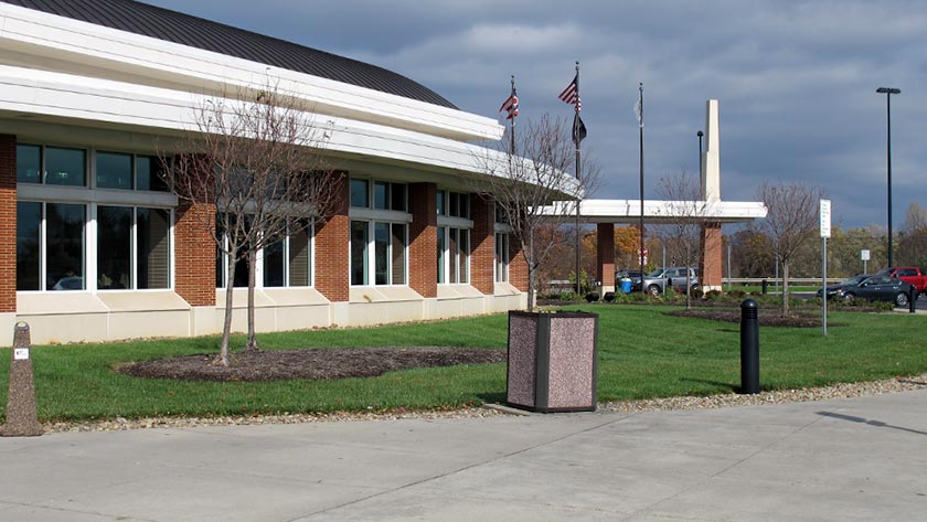
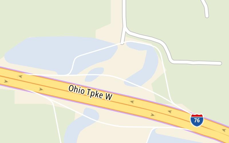
This travel plaza is located in New Springfield.
This location is in the Cleveland - Akron - Youngstown area; it also overlaps with the Pittsburgh - Western Pennsylvania area.
This location's approximate GPS Coordinates are 40.94040 x -80.58640.
On to Glacier Hills Service Plaza, about 0.0 miles away ►
◄ Back to Youngstown/Poland / I–680, about 3.1 miles away.
Use the map below for all services within about a two (2) mile radius.
Closest Gas Stations

SUNOCO
12500 Beard Road • 0.58 miles
Store/Fuel Brand: Sunoco

SUNOCO
• 146 feet
Store/Fuel Brand: Sunoco
GLACIER HILLS SERVICE PLAZA
• 658 feet
Store/Fuel Brand:

7-ELEVEN
• 669 feet
Store/Fuel Brand: 7-Eleven
Closest EV Chargers


Closest Fast Food
Fast food refers ONLY to quick-service and take-out diners. All restaurant types are shown on the map below.

MCDONALD'S
12500 Beard Road • 0.55 miles
DQ GRILL & CHILL
12500 Beard Road • 0.62 miles
DQ GRILL & CHILL
• 203 feet
DQ GRILL & CHILL
• 685 feet
The interactive map and lists on this page include key traveler services in a two-mile radius, including gas stations, truck stops, EV charging facilities, fast-food or family restaurants, and hotels.
Current driving conditions and weather, may be found below.

Mostly Sunny
26°F / -3.3°C
Feels Like:
35°F / 1.8°C
Visibility
4 Mi / 6.4 Km
3-Hour Precip:
0 In / 0.0 Cm
East Southeast
Winds (ESE)
1.7 MPH / 2.8 KPH
Gusts:
3.6 MPH / 5.7 KPH
▸ Get the full forecast for This Location | The Cleveland - Akron - Youngstown area
No camera feed …
There is no currently-available traffic camera feed for this location.
Destination Travel
Journey to key destinations around and adjacent to Ohio!
Communities in this metro area include Cleveland, Akron, Boardman, Lorain, Aurora, Youngstown, New Castle, Pennsylvania, and Beaver Falls, Pennsylvania.
Individual toll maps for this region are listed below.
Communities in this metro area include Toledo, Perrysburg, Maumee, Montpelier, and Wauseon.
Individual toll maps for this region are listed below.
Communities in this metro area include Castalia, Sandusky, Norwalk, Bellevue, Huron, Milan, and Monroeville.
Individual toll maps for this region are listed below.
Communities in this metro area include Columbus, Upper Arlington, Westerville, New Albany, Worthington, Dublin, Pickerington, and Reynoldsburg.
Individual toll maps for this region are listed below.
Roads Within Region
Communities in this metro area include Cincinnati, Norwood, Cheviot, Northbrook, Reading, Covington, Kentucky, and Newport, Kentucky.
Individual toll maps for this region are listed below.
Roads Within Region
Communities in this metro area include Gary, South Bend, Elkhart, Portage, and Fremont.
Individual toll maps for this region are listed below.
Communities in this metro area include Pittsburgh, Cranberry Township, Beaver Valley, New Castle, Washington, Uniontown, Cheat Lake, West Virginia, Boardman, Ohio, and Youngstown, Ohio.
Individual toll maps for this region are listed below.
Communities in this metro area include Parkersburg, North Hills, Vienna, and Belpre, Ohio.
Individual toll maps for this region are listed below.
Communities in this metro area include Detroit, Grosse Ile, Ann Arbor, Pontiac, and Lansing.
Individual toll maps for this region are listed below.