This Location At A Glance
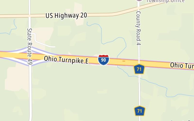
This toll point is located in Edon. NOTE: to Indiana Toll Road.
This location is in the Toledo - Western Ohio area; it also overlaps with the Northern Indiana area.
This location's approximate GPS Coordinates are 41.62837 x -84.73716.
On to Bryan/Montpelier / SR 15, about 9.9 miles away ►
◄ Back to SR 49, about 1.5 miles away.
Nearby gas and food are shown on the interactive map below.
Weather & Visibility

Cloudy
66°F / 18.7°C
Feels Like
64°F / 17.7°C

Visibility
16 Mi / 25.7 Km
3 Hr Precip
0 In / 0.0 Cm

-
SSW Wind
8.3 Mi / 13.3 Km
Gusts
12.7 Mi / 20.4 Km
See the full forecast for the Toledo - Western Ohio area
Conditions and forecasts provided in partnership with AccuWeather.

Weather provided in partnership with AccuWeather.
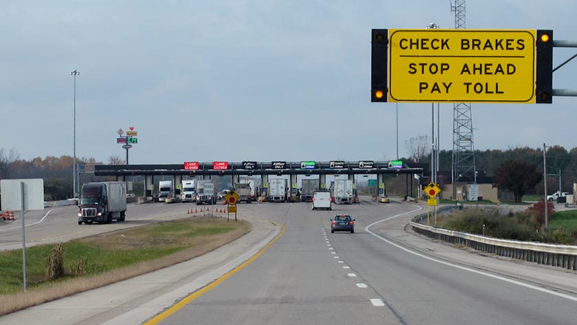
Available Cameras
No camera feed …
There is no currently-available traffic camera feed for this location.


 Ohio Turnpike ▹
 Pennsylvania Turnpike ▹
 Beaver Valley Expressway ▹
 Indiana Toll Road ▹


 Chicago Skyway ▹
 Tri State Tollway ▹
 Cline Avenue Bridge ▹
 PA Turnpike 66 ▹
 Mon Fayette Expressway ▹
 PA Turnpike 576 ▹
 Memorial Bridge ▹
 Ambassador Bridge ▹
 Detroit Windsor Tunnel ▹