This Location At A Glance
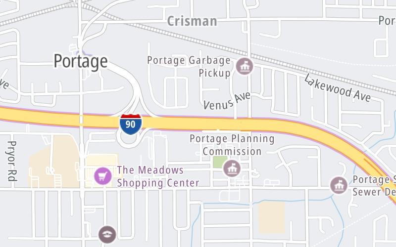
This toll point is located in Portage.
This location is in the Northern Indiana area.
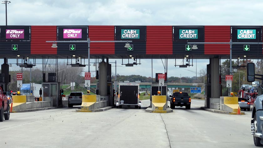
Photo by Turnpikes.com
This location's approximate GPS Coordinates are 41.58003 x -87.17307.
On to SR 49, about 6.8 miles away ►
◄ Back to Willow Creek Rd, about 0.3 miles away.
Nearby gas and food are shown on the interactive map below.
Weather & Visibility

Mostly Cloudy
48°F / 8.8°C
Feels Like
49°F / 9.4°C

Visibility
22 Mi / 35.4 Km
3 Hr Precip
0 In / 0.0 Cm

-
S Wind
2.7 Mi / 4.3 Km
Gusts
4.4 Mi / 7 Km
See the full forecast for the Northern Indiana area
Conditions and forecasts provided in partnership with AccuWeather.

Weather provided in partnership with AccuWeather.
Available Cameras
No camera feed …
There is no currently-available traffic camera feed for this location.
Advertising


 Indiana Toll Road ▹
 Chicago Skyway ▹
 Tri State Tollway ▹
 Ohio Turnpike ▹
 Cline Avenue Bridge ▹
 Jane Addams Memorial Tollway ▹
 Ronald Reagan Memorial Tollway ▹
 Veterans Memorial Tollway ▹
 Illinois Route 390 ▹
 Houbolt Road Extension ▹
 Lewis And Clark Bridge ▹
 Abraham Lincoln Bridge ▹

 Ambassador Bridge ▹
 Detroit Windsor Tunnel ▹