This Location At A Glance
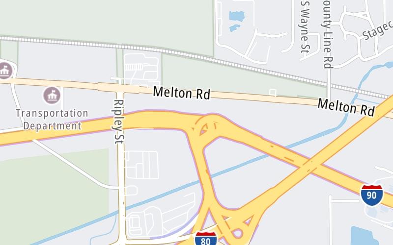
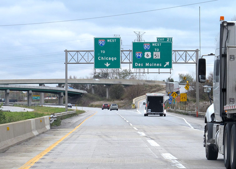
This is Exit 21 of the Indiana Toll Road.
This junction is located in Gary. Lake Station is nearby. NOTE: Cameras at I-94/I-80 Interchange.
This location is in the Northern Indiana area; it also overlaps with the Chicagoland - Northwestern Indiana area.
This location's approximate GPS Coordinates are 41.59294 x -87.23384.
Which directions can I travel from here?
From this junction, traffic can enter traveling both westbound and eastbound. Traffic can also exit traveling both westbound and eastbound.
On to Willow Creek Rd, about 3.2 miles away ►
◄ Back to I-65 / Gary East, about 3.9 miles away.
This location also connects with Illinois.
▹ The Indiana Toll Road and the Tri State Tollway connect here.
Nearby gas and food are shown on the interactive map below.
Weather & Visibility

Cloudy
72°F / 22.5°C
Feels Like
72°F / 22.2°C

Visibility
21 Mi / 33.8 Km
3 Hr Precip
0.01 In / 0.0 Cm

-
W Wind
8.4 Mi / 13.5 Km
Gusts
14.7 Mi / 23.7 Km
See the full forecast for This Location or the Northern Indiana area
Conditions and forecasts provided in partnership with AccuWeather.

Weather provided in partnership with AccuWeather.
Available Cameras
No camera feed …
There is no currently-available traffic camera feed for this location.


 Indiana Toll Road ▹
 Chicago Skyway ▹
 Tri State Tollway ▹
 Ohio Turnpike ▹
 Cline Avenue Bridge ▹
 Jane Addams Memorial Tollway ▹
 Ronald Reagan Memorial Tollway ▹
 Veterans Memorial Tollway ▹
 Illinois Route 390 ▹
 Houbolt Road Extension ▹
 Lewis And Clark Bridge ▹
 Abraham Lincoln Bridge ▹

 Ambassador Bridge ▹
 Detroit Windsor Tunnel ▹