This Location At A Glance
This toll point is located in Hammond. East Chicago is nearby. NOTE: Indianapolis Blvd / Chicago Skyway.
This location is in the Northern Indiana area; it also overlaps with the Chicagoland - Northwestern Indiana area.
This location's approximate GPS Coordinates are 41.68800 x -87.52202.
On to SR 912 East / Cline Ave / Calumet Ave, about 2.2 miles away ►
◄ Back to Indiana State Line (to/from Chicago Skyway), about 1.1 miles away.
This location also connects with Illinois.
▹ The Indiana Toll Road and the Chicago Skyway connect here.
Nearby gas and food are shown on the interactive map below.
Weather & Visibility

Clear
55°F / 13°C
Feels Like
56°F / 13.4°C

Visibility
22 Mi / 35.4 Km
3 Hr Precip
0 In / 0.0 Cm

-
S Wind
2.9 Mi / 4.6 Km
Gusts
6.5 Mi / 10.4 Km
See the full forecast for the Northern Indiana area
Conditions and forecasts provided in partnership with AccuWeather.

Weather provided in partnership with AccuWeather.
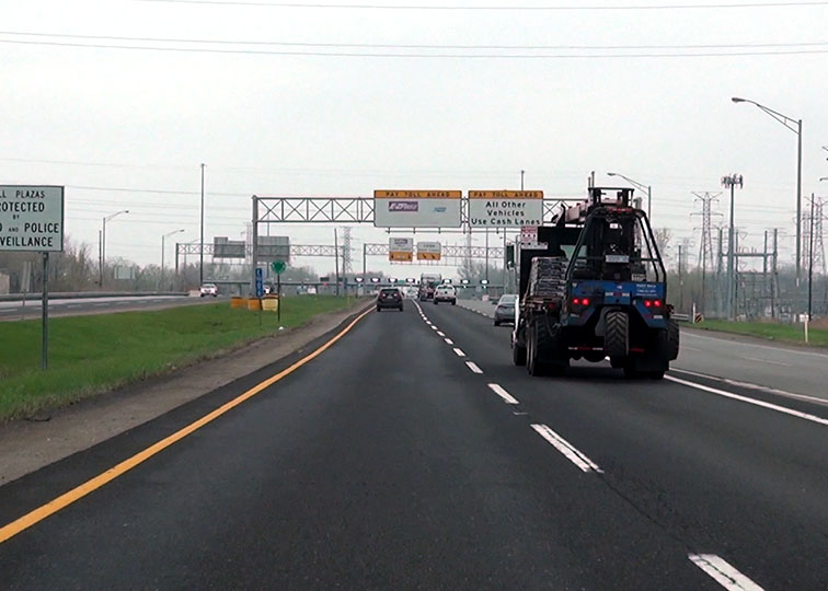
Available Cameras
No camera feed …
There is no currently-available traffic camera feed for this location.


 Indiana Toll Road ▹
 Chicago Skyway ▹
 Tri State Tollway ▹
 Ohio Turnpike ▹
 Cline Avenue Bridge ▹
 Jane Addams Memorial Tollway ▹
 Ronald Reagan Memorial Tollway ▹
 Veterans Memorial Tollway ▹
 Illinois Route 390 ▹
 Houbolt Road Extension ▹
 Lewis And Clark Bridge ▹
 Abraham Lincoln Bridge ▹

 Ambassador Bridge ▹
 Detroit Windsor Tunnel ▹