This Location At A Glance
This toll point is located in Portage. NOTE: Single structure / Tolls charged on WB entrance/EB exit.
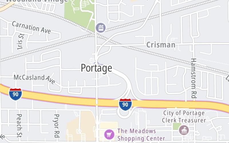
Map image © TomTom Intl BV
This location's approximate GPS Coordinates are 41.58376 x -87.18052.
On to SR 49, about 7.0 miles away ►
◄ Back to Lake Station / I-80 / I-94, about 3.3 miles away.
Nearby gas and food are shown on the interactive map below.
Weather & Visibility

Partly Sunny
41°F / 5°C
Feels Like
39°F / 4.2°C

Visibility
12 Mi / 19.3 Km
3 Hr Precip
0 In / 0.0 Cm

-
N Wind
4.9 Mi / 7.9 Km
Gusts
10.2 Mi / 16.3 Km
Conditions and forecasts provided in partnership with AccuWeather.

Weather provided in partnership with AccuWeather.
Available Cameras
No camera feed …
There is no currently-available traffic camera feed for this location.
Advertising


 Indiana Toll Road ▹
 Chicago Skyway ▹
 Tri State Tollway ▹
 Ohio Turnpike ▹
 Cline Avenue Bridge ▹
 Jane Addams Memorial Tollway ▹
 Ronald Reagan Memorial Tollway ▹
 Veterans Memorial Tollway ▹
 Illinois Route 390 ▹
 Houbolt Road Extension ▹
 Lewis And Clark Bridge ▹
 Abraham Lincoln Bridge ▹

 Ambassador Bridge ▹
 Detroit Windsor Tunnel ▹


