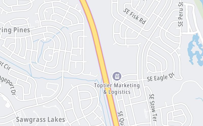
This Location At A Glance
This toll point is located in Port St Lucie. St Lucie West is nearby. NOTE: Toll gantry - 141.
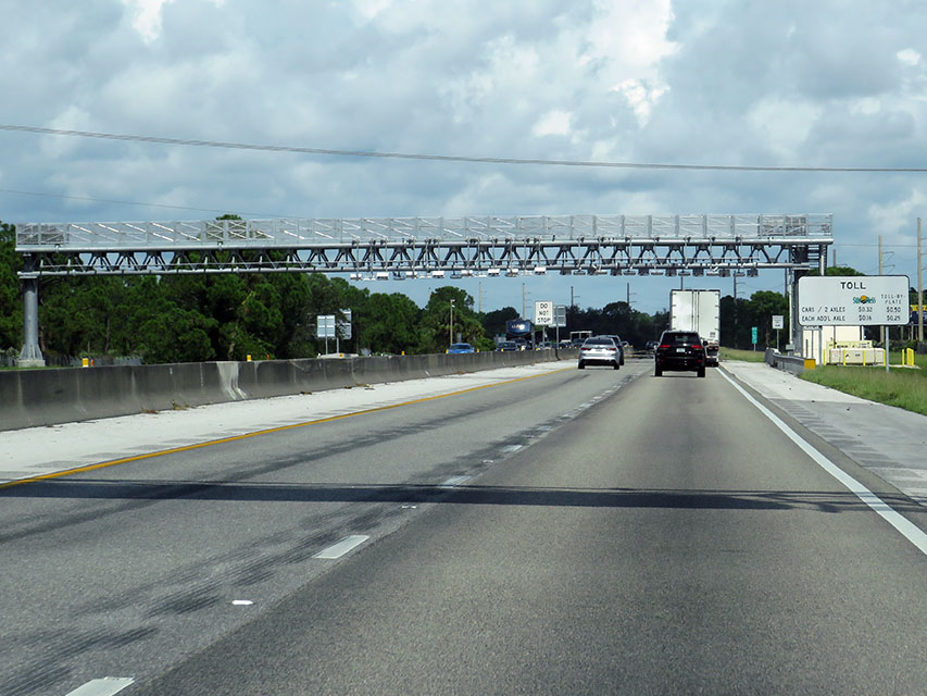
Photo by Turnpikes.com
This location's approximate GPS Coordinates are 27.25080 x -80.34787.
On to Port St Lucie Blvd, about 1.9 miles away ►
◄ Back to Becker Road, about 3.0 miles away.
Nearby gas and food are shown on the interactive map below.
Weather & Visibility

Mostly Clear
72°F / 22.5°C
Feels Like
75°F / 24°C

Visibility
10 Mi / 16.1 Km
3 Hr Precip
0 In / 0.0 Cm

-
ENE Wind
2.7 Mi / 4.3 Km
Gusts
6 Mi / 9.7 Km
Conditions and forecasts provided in partnership with AccuWeather.

Weather provided in partnership with AccuWeather.
Available Cameras

865 Ft
0.24 Mi
0.67 Mi
1.12 Mi
1.70 Mi
Advertising


 Garcon Point Bridge ▹
 Bob Sikes Bridge ▹
 SR 293 ▹
 First Coast Expressway ▹
 Central Florida Greeneway/Seminole Expy ▹
 Florida's Turnpike ▹
 East West Expressway ▹
 Beachline Expressway ▹
 Western Beltway/Wekiva Pkwy ▹
 Apopka Expressway ▹
 Poinciana Parkway ▹
 SR 453 ▹
 Goldenrod Road Extension ▹
 Osceola Parkway ▹
 SR 451 ▹
 Polk Parkway ▹
 Selmon Expressway ▹
 Suncoast Parkway/Veterans Expy ▹
 Sunshine Skyway ▹
 Pinellas Bayway ▹
 Gateway Expressway ▹

 Airport Expressway ▹
 Alligator Alley ▹
 Dolphin Expressway ▹
 Don Shula Expressway ▹
 Gratigny Parkway ▹
 Sawgrass Expressway ▹
 Snapper Creek Expressway ▹
 Rickenbacker Causeway ▹
 Venetian Causeway ▹
 Card Sound Road ▹
 Sanibel Causeway ▹
 Midpoint Memorial Bridge ▹
 Cape Coral Bridge ▹