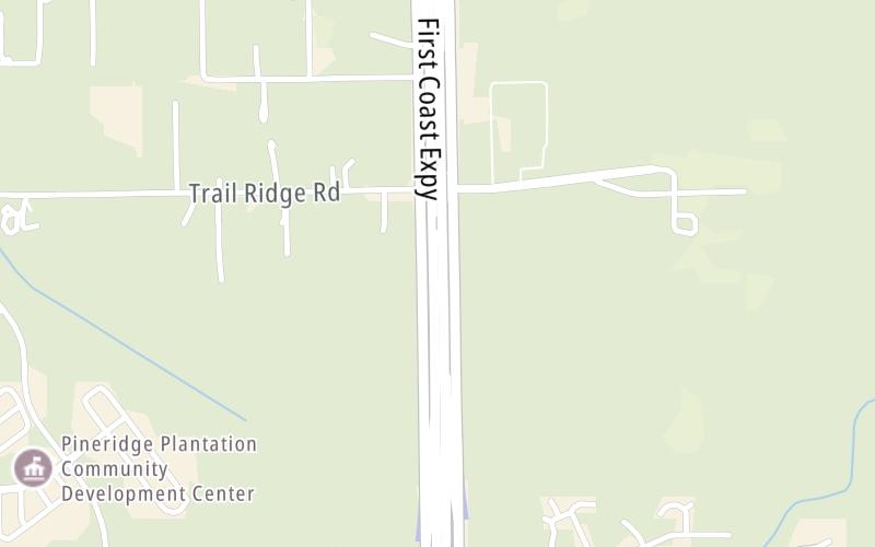
This Location At A Glance
This toll point is located in Clay County. NOTE: Toll gantry / NB and SB charged.
This location is in the Jacksonville - Northeast Florida area.
This location's approximate GPS Coordinates are 30.13023 x -81.83062.
On to Oakleaf Plantation Pkwy / Challenger Dr / Discovery Dr, about 2.2 miles away ►
◄ Back to Old Jennings Road / Discovery Drive, about 1.0 mile away.
Nearby gas and food are shown on the interactive map below.
Weather & Visibility

Rain
82°F / 27.8°C
Feels Like
90°F / 32.1°C

Visibility
10 Mi / 16.1 Km
3 Hr Precip
0.05 In / 0.1 Cm

-
W Wind
8.1 Mi / 13 Km
Gusts
8.1 Mi / 13 Km
See the full forecast for the Jacksonville - Northeast Florida area
Conditions and forecasts provided in partnership with AccuWeather.

Weather provided in partnership with AccuWeather.
Available Cameras

0.41 Mi
0.66 Mi
1.84 Mi
3.35 Mi


 Garcon Point Bridge ▹
 Bob Sikes Bridge ▹
 SR 293 ▹
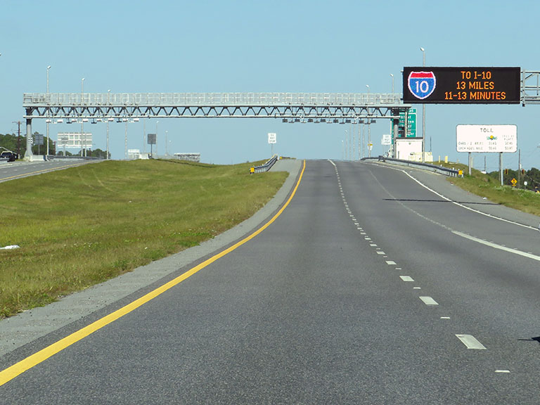
 First Coast Expressway ▹
 Central Florida Greeneway/Seminole Expy ▹
 Florida's Turnpike ▹
 East West Expressway ▹
 Beachline Expressway ▹
 Western Beltway/Wekiva Pkwy ▹
 Apopka Expressway ▹
 Poinciana Parkway ▹
 SR 453 ▹
 Goldenrod Road Extension ▹
 Osceola Parkway ▹
 SR 451 ▹
 Polk Parkway ▹
 Selmon Expressway ▹
 Suncoast Parkway/Veterans Expy ▹
 Sunshine Skyway ▹
 Pinellas Bayway ▹
 Gateway Expressway ▹

 Airport Expressway ▹
 Alligator Alley ▹
 Dolphin Expressway ▹
 Don Shula Expressway ▹
 Gratigny Parkway ▹
 Sawgrass Expressway ▹
 Snapper Creek Expressway ▹
 Rickenbacker Causeway ▹
 Venetian Causeway ▹
 Card Sound Road ▹
 Sanibel Causeway ▹
 Midpoint Memorial Bridge ▹
 Cape Coral Bridge ▹