This Location At A Glance
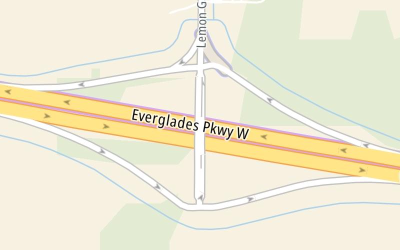
This is Exit 49 of Alligator Alley.
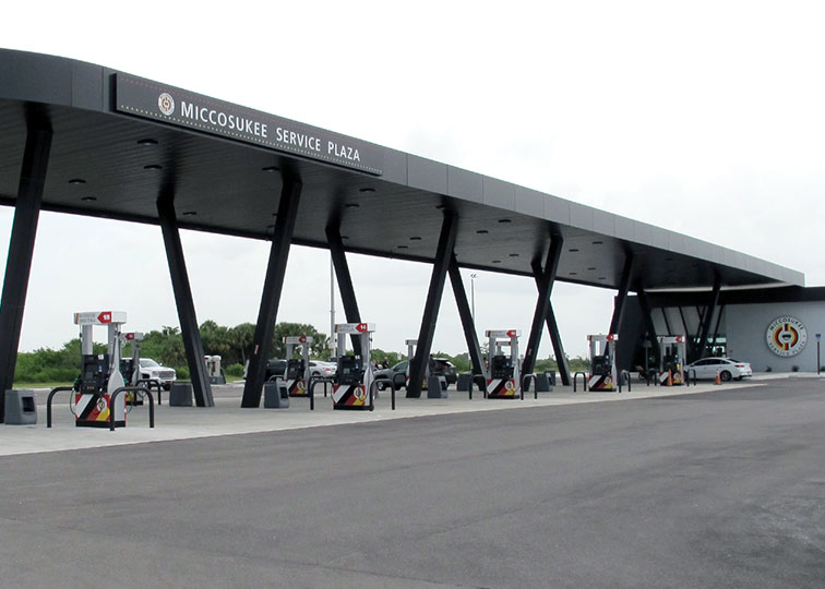
This travel plaza is located in Miccosukee Reservation. NOTE: Exit 49 / CR 833 / Snake Road / Casino.
This location is in the Miami - South Florida area.
This location's approximate GPS Coordinates are 26.17088 x -80.85630.
On to Broward County Rest Stop, about 14.0 miles away ►
◄ Back to Collier County Rest Stop, about 14.0 miles away.
Nearby gas and food are shown on the interactive map below.
Weather & Visibility

Mostly Sunny
85°F / 29.3°C
Feels Like
94°F / 34.2°C

Visibility
12 Mi / 19.3 Km
3 Hr Precip
0 In / 0.0 Cm

-
E Wind
8.3 Mi / 13.3 Km
Gusts
13.6 Mi / 21.8 Km
See the full forecast for This Location or the Miami - South Florida area
Conditions and forecasts provided in partnership with AccuWeather.

Weather provided in partnership with AccuWeather.
Available Cameras

0.57 Mi
1.37 Mi
2.27 Mi


 Garcon Point Bridge ▹
 Bob Sikes Bridge ▹
 SR 293 ▹
 First Coast Expressway ▹
 Central Florida Greeneway/Seminole Expy ▹
 Florida's Turnpike ▹
 East West Expressway ▹
 Beachline Expressway ▹
 Western Beltway/Wekiva Pkwy ▹
 Apopka Expressway ▹
 Poinciana Parkway ▹
 SR 453 ▹
 Goldenrod Road Extension ▹
 Osceola Parkway ▹
 SR 451 ▹
 Polk Parkway ▹
 Selmon Expressway ▹
 Suncoast Parkway/Veterans Expy ▹
 Sunshine Skyway ▹
 Pinellas Bayway ▹
 Gateway Expressway ▹

 Airport Expressway ▹
 Alligator Alley ▹
 Dolphin Expressway ▹
 Don Shula Expressway ▹
 Gratigny Parkway ▹
 Sawgrass Expressway ▹
 Snapper Creek Expressway ▹
 Rickenbacker Causeway ▹
 Venetian Causeway ▹
 Card Sound Road ▹
 Sanibel Causeway ▹
 Midpoint Memorial Bridge ▹
 Cape Coral Bridge ▹