This Location At A Glance
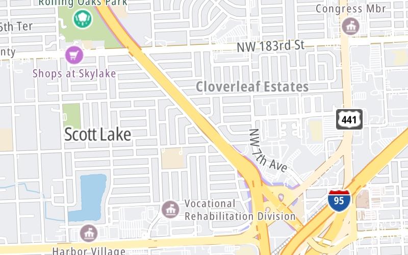
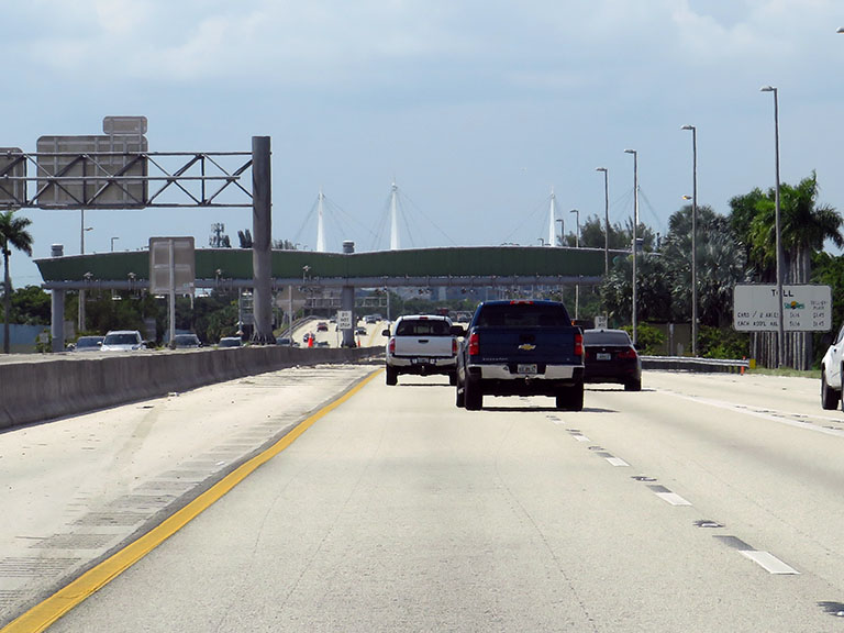
This toll point is located in Miami Gardens. Aventura and Opa Locka are nearby. NOTE: Toll gantry - 0X / Plaza has been replaced by gantry.
This location is in the Miami - South Florida area.
This location's approximate GPS Coordinates are 25.93600 x -80.21700.
On to Hard Rock Stadium/199th Street, about 1.9 miles away ►
◄ Back to I-95 / 836 (Palmetto Expy) / US Hwy 441, about 0.2 miles away.
Nearby gas and food are shown on the interactive map below.
Weather & Visibility

Mostly Sunny
70°F / 21.1°C
Feels Like
74°F / 23.1°C

Visibility
10 Mi / 16.1 Km
3 Hr Precip
0 In / 0.0 Cm

-
ENE Wind
2.3 Mi / 3.7 Km
Gusts
7.5 Mi / 12 Km
See the full forecast for the Miami - South Florida area
Conditions and forecasts provided in partnership with AccuWeather.

Weather provided in partnership with AccuWeather.
Available Cameras

0.39 Mi
0.60 Mi
0.63 Mi
0.65 Mi
0.65 Mi


 Garcon Point Bridge ▹
 Bob Sikes Bridge ▹
 SR 293 ▹
 First Coast Expressway ▹
 Central Florida Greeneway/Seminole Expy ▹
 Florida's Turnpike ▹
 East West Expressway ▹
 Beachline Expressway ▹
 Western Beltway/Wekiva Pkwy ▹
 Apopka Expressway ▹
 Poinciana Parkway ▹
 SR 453 ▹
 Goldenrod Road Extension ▹
 Osceola Parkway ▹
 SR 451 ▹
 Polk Parkway ▹
 Selmon Expressway ▹
 Suncoast Parkway/Veterans Expy ▹
 Sunshine Skyway ▹
 Pinellas Bayway ▹
 Gateway Expressway ▹

 Airport Expressway ▹
 Alligator Alley ▹
 Dolphin Expressway ▹
 Don Shula Expressway ▹
 Gratigny Parkway ▹
 Sawgrass Expressway ▹
 Snapper Creek Expressway ▹
 Rickenbacker Causeway ▹
 Venetian Causeway ▹
 Card Sound Road ▹
 Sanibel Causeway ▹
 Midpoint Memorial Bridge ▹
 Cape Coral Bridge ▹