Current Weather And Visibility
Key Regions Along The Addison Airport Toll Tunnel
Dallas - Fort Worth
Currently Next 12 Hours

Mostly Clear
79°F
Feels Like:
80°F
Visibility
19 Mi
Humidity:
57 %
SE Wind
1.8 MPH
Gusts:
4.9 MPH
Conditions and forecasts provided in partnership with AccuWeather.

Weather provided in partnership with AccuWeather.
Texas Radar & Satellite
NOAA composite satellite & weather radar imagery.
Images from GOES-East Southern Plains Sector. Sequence may take a moment to initialize.
Weather & Travel Conditions With The Road Map
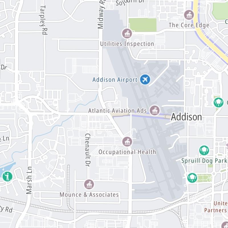
This tunnel serves Addison. Use the interactive map of the Addison Airport Toll Tunnel to pick a location for destination weather.
Pan and zoom the interactive map to your chosen position. Select markers to view conditions at that location and see nearby available traffic cameras along the tunnel.

 Addison Airport Toll Tunnel ▹
 Chisholm Trail Parkway ▹
 Dallas North Tollway ▹
 Lewisville Lake Toll Bridge ▹
 Mountain Creek Lake Toll Bridge ▹
 President George Bush Turnpike ▹
 Sam Rayburn Tollway ▹
 360 Tollway ▹
 Grand Parkway ▹
 Hardy Toll Road ▹
 Sam Houston Tollway ▹
 Tomball Tollway ▹
 Westpark Tollway ▹
 Loop 1 ▹
 SH 130 ▹
 SH 45 N ▹
 SH 45 SW ▹
 183A Toll Road ▹
 183 Toll Road ▹
 290 Toll Road ▹
 71 Toll Road ▹
 Toll 49 ▹
 SH 550 ▹
 H E Bailey Turnpike ▹


