A Quick Look At The Mountain Creek Lake Toll Bridge

This bridge serves Dallas, Grand Prairie, and Arlington.
This road is in the Dallas - Fort Worth area.
A complete list of exits can be found below.
How To Pay On the Mountain Creek Lake Toll Bridge
Accepted types of payment taken while on the road
Payment Type
Tag
Plate
Cash
Card
App
Available when checked
Tag
Plate
No cash
No card
App
The Mountain Creek Lake Toll Bridge offers license-plate tolling for those without a compatible transponder.
Transponders You Can Use
For drivers with a transponder, the following passes can be used on the Mountain Creek Lake Toll Bridge

- tolltag
- eztag
- txtag
- pikepass
- k-tag
- sunpass pro
- expresstoll


Learn about transponders and accounts in Texas.
View MapToll CalculatorAll Texas Tolls
Our new toll and trip calculator is complete, but many roads' data are still being entered into our database. The legacy calculator remains active for current, accurate tolls.
Advertising
 North Texas Tollway Authority
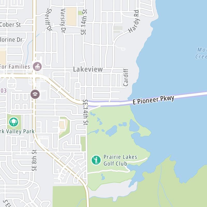

 Addison Airport Toll Tunnel ▹
 Chisholm Trail Parkway ▹
 Dallas North Tollway ▹
 Lewisville Lake Toll Bridge ▹
 Mountain Creek Lake Toll Bridge ▹
 President George Bush Turnpike ▹
 Sam Rayburn Tollway ▹
 360 Tollway ▹
 Grand Parkway ▹
 Hardy Toll Road ▹
 Sam Houston Tollway ▹
 Tomball Tollway ▹
 Westpark Tollway ▹
 Loop 1 ▹
 SH 130 ▹
 SH 45 N ▹
 SH 45 SW ▹
 183A Toll Road ▹
 183 Toll Road ▹
 290 Toll Road ▹
 71 Toll Road ▹
 Toll 49 ▹
 SH 550 ▹
 H E Bailey Turnpike ▹


