2:34 am Local Time
Mostly Cloudy
71°F / 21.9°C
Feels Like:
73°F / 22.7°C
Visibility
10 Mi / 16.1 Km
3-Hour Precip:
0 In / 0.0 Cm
Southeast
Winds (SE)
4 MPH / 6.5 KPH
Gusts:
12.3 MPH / 19.7 KPH
Forecast weather and driving conditions follow the jump. These include an hour-by-hour forecast for the next 12-hours, a three-day forecast and an extended forecast, for extended travel planning.
An area traffic map, with available traffic cameras, shows driving conditions, from current traffic to mother nature's influence on the road. These follow the short-range forecasts below.
There is no currently-available traffic camera feed for this location.
Tuesday forecast: Considerable cloudiness in the morning, then times of sun and clouds in the afternoon; breezy and humid
Mostly Cloudy
25% Chance Rain
82° F/27.8° C
S Wind
12 to 27 Mi/
19 to 43 Km
Sunrise
6:43 AM
Tuesday night: Considerable cloudiness in the morning, then times of sun and clouds in the afternoon; breezy and humid
Thunderstorms
90% Chance Rain
70° F/21.1° C
SSE Wind
12 to 27 Mi/
19 to 43 Km
Sunset
8:09 PM
Wednesday forecast: Cloudy, breezy and not as warm with a couple of showers and a heavy thunderstorm; watch for flash flooding, large hail, damaging wind gusts and even a tornado
Thunderstorms
98% Chance Rain
74° F/23.3° C
S Wind
15 to 29 Mi/
24 to 46 Km
Sunrise
6:42 AM
Wednesday night: Cloudy, breezy and not as warm with a couple of showers and a heavy thunderstorm; watch for flash flooding, large hail, damaging wind gusts and even a tornado
Mostly Cloudy W/ Showers
80% Chance Rain
66° F/18.9° C
SSW Wind
12 to 24 Mi/
19 to 39 Km
Sunset
8:09 PM
Thursday forecast: Humid and warmer with plenty of sunshine
Sunny
1% Chance Rain
86° F/30.0° C
WSW Wind
8 to 14 Mi/
13 to 22 Km
Sunrise
6:41 AM
Thursday night: Humid and warmer with plenty of sunshine
Partly Cloudy W/ T-storms
81% Chance Rain
67° F/19.4° C
ENE Wind
7 to 16 Mi/
11 to 26 Km
Sunset
8:10 PM
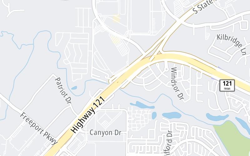
This junction is located in Coppell, at GPS 32.98816 x -97.01148. Dallas is nearby. This location is in the Dallas - Fort Worth area.
You can pan and zoom the interactive map. Select cameras to see the on-road traffic feeds, and pick exits or other markers for conditions at those locations.
Journey to key destinations around and adjacent to Texas!
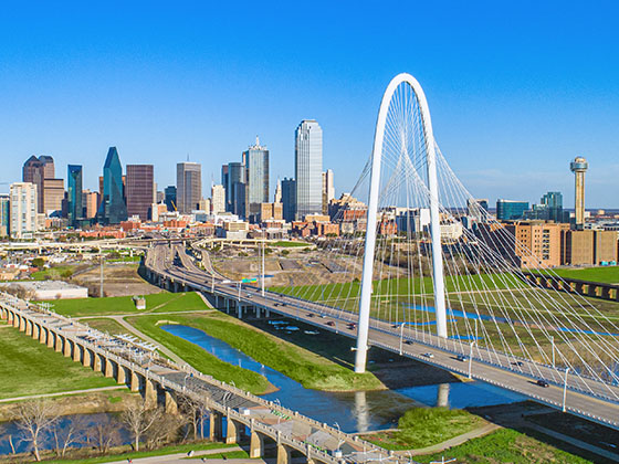
Communities in this metro area include Dallas, Fort Worth, Plano, Addison, Frisco, Grand Prairie, Arlington, Carrrollton, and Lake Dallas.
Individual toll maps for this region are listed below.
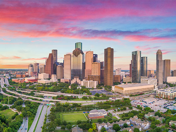
Communities in this metro area include Houston, Humble, Tomball, Sugar Land, Galveston, Pearland, and Katy.
Individual toll maps for this region are listed below.
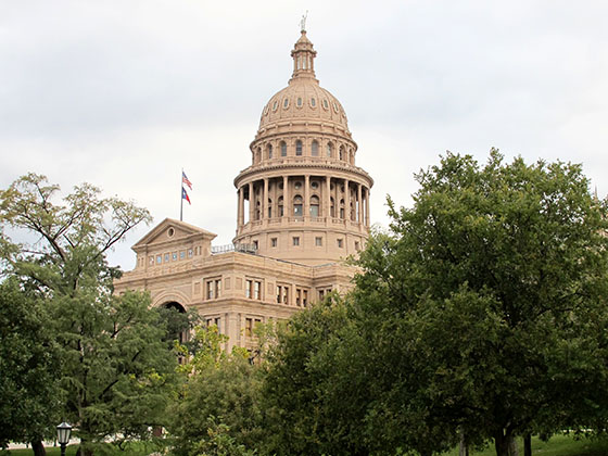
Communities in this metro area include Austin, Pflugerville, Round Rock, Georgetown, Cedar Park, Mustang Ridge, Manor, Serenada, Sunset Valley, and Hutto.
Individual toll maps for this region are listed below.
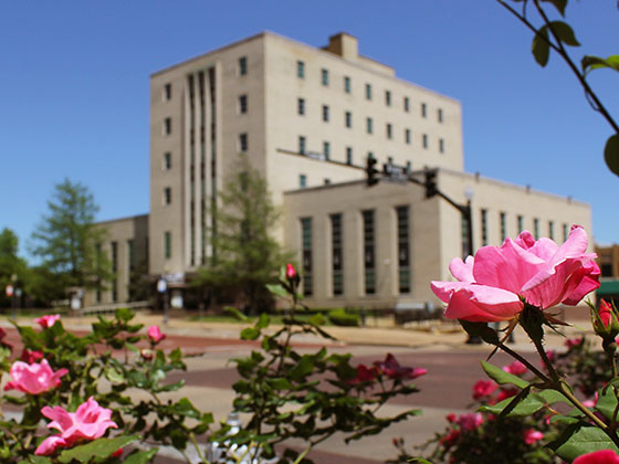
Communities in this metro area include Tyler, Wood Springs, Noonday, and Whitehouse.
Individual toll maps for this region are listed below.
Communities in this metro area include Brownsville, Heroica Matamoros, Tamaulipas, San Benito, Harlingen, and Rancho Viejo.
Individual toll maps for this region are listed below.
Communities in this metro area include Lawton, Fort Sill, Geronimo, and Cache.
Individual toll maps for this region are listed below.