Current Weather And Visibility
Key Regions Along The John Kilpatrick Turnpike
Oklahoma City
Currently Next 12 Hours

Partly Sunny
84°F
Feels Like:
91°F
Visibility
10 Mi
Humidity:
49 %
S Wind
9.4 MPH
Gusts:
17.8 MPH
Conditions and forecasts provided in partnership with AccuWeather.

Weather provided in partnership with AccuWeather.
Oklahoma Radar & Satellite
NOAA composite satellite & weather radar imagery.
Images from GOES-East Southern Plains Sector. Sequence may take a moment to initialize.
Weather & Travel Conditions With The Road Map
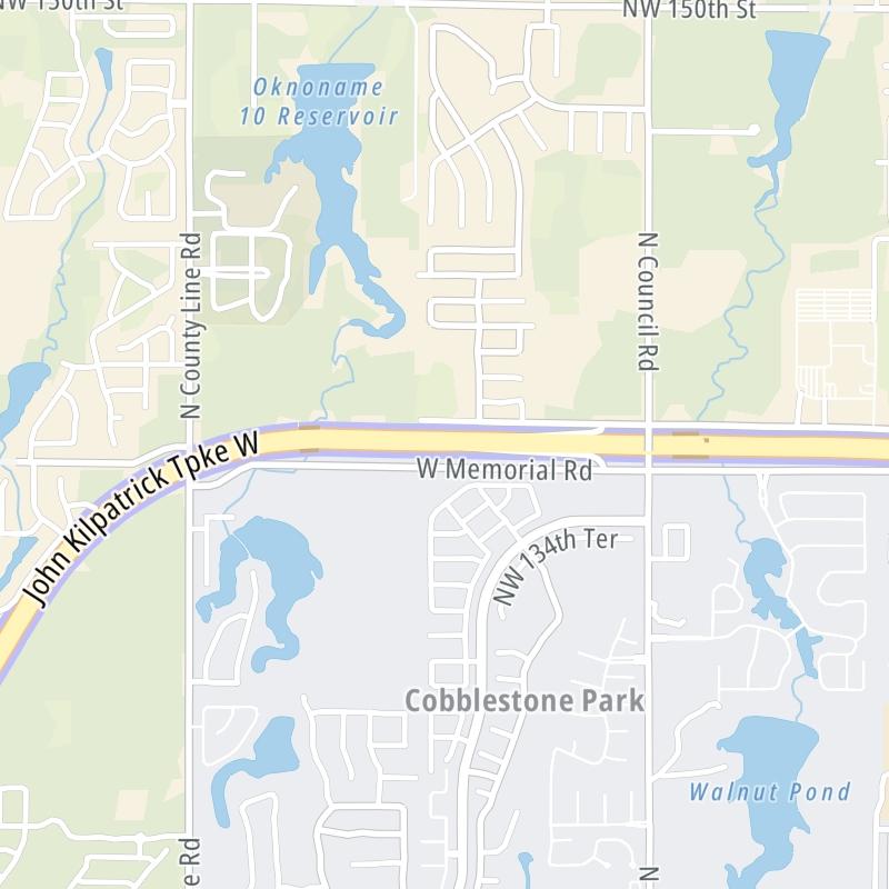
This local toll road serves multiple communities, including Oklahoma City, Yukon, Bethany, and Edmond. Use the interactive map of the John Kilpatrick Turnpike to pick a location for destination weather.
Pan and zoom the interactive map to your chosen position. Markers depict exits or tolling points, and selecting the marker lets you get location-specific weather and traffic conditions.

 Cherokee Turnpike ▹
 Creek Turnpike ▹
 Muskogee Turnpike ▹
 Turner Turnpike ▹
 Will Rogers Turnpike ▹
 Gilcrease Expressway West ▹

 H E Bailey Turnpike ▹
 Indian Nation Turnpike ▹
 John Kilpatrick Turnpike ▹
 Kickapoo Turnpike ▹
 Chickasaw Turnpike ▹

 Addison Airport Toll Tunnel ▹
 Chisholm Trail Parkway ▹
 Dallas North Tollway ▹
 Lewisville Lake Toll Bridge ▹
 Mountain Creek Lake Toll Bridge ▹
 President George Bush Turnpike ▹
 Sam Rayburn Tollway ▹
 360 Tollway ▹
 Kansas Turnpike ▹


